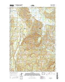
2017 Map of Olney
USGS Topo · Published 2017About this map
The Lewis and Clark National Historical Park anchors the northwest corner of this coastal Oregon landscape, where the Lewis and Clark River and Youngs River dominate the drainage system. This 2017 survey reveals a complex network of waterways, including Binder Slough, Casey Slough, and Cooperage Slough, which weave through the lowlands between Fry Island and Haven Island. The settlement of Olney serves as a local hub near the confluence of the Klaskanine River and Youngs River, while the Lewis and Clark Mainline railroad tracks the western river valley toward Melville. Genealogists will find the Lewis and Clark Cem located near the riverbank. To the south, the terrain rises sharply toward Lone Ridge and Sister Green Mtn, illustrating the transition from tidal wetlands to the timbered heights of the Coast Range.
Find a feature on this map
63 named features on this map. Tap any name to fly to it.
Don’t see what you’re looking for? This feature index may not catch every label — zoom into the map to look around manually.
Map Details
Editions of this 2017 Olney Map
This is the sole edition of this map. No revisions or reprints were ever made.
Other maps of this area
1919 · Astoria
USGS Topo · 1:62,500
1939 · Astoria
USGS Topo · 1:62,500
1939 · Saddle Mountain
USGS Topo · 1:62,500
1940 · Svensen
USGS Topo · 1:62,500
1940 · Cape Falcon
USGS Topo · 1:62,500
1943 · Saddle Mtn.
USGS Topo · 1:62,500

1948 · Vancouver
USGS Topo · 1:250,000
1949 · Astoria
USGS Topo · 1:24,000
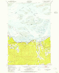
1949 · Cathlamet Bay
USGS Topo · 1:24,000
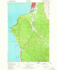
1949 · Tillamook Head
USGS Topo · 1:24,000