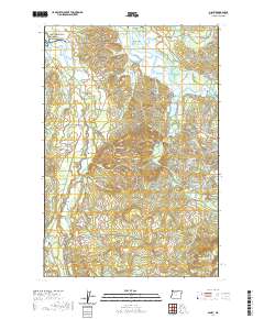
2020 Map of Olney
USGS Topo · Published 2020About this map
Lewis and Clark National Historical Park anchors the northwestern corner of this map, where the Lewis and Clark River flows north toward the coast. This coastal landscape is defined by an intricate network of tidal sloughs and winding river systems, including the Youngs River and the Wallooskee River. Local history is centered around small settlements like Melville and Olney, which are connected by historic transport corridors such as the Lewis and Clark Mainline and Lewis and Clark Rd.
Find a feature on this map
62 named features on this map. Tap any name to fly to it.
Don’t see what you’re looking for? This feature index may not catch every label — zoom into the map to look around manually.
Map Details
Editions of this 2020 Olney Map
This is the sole edition of this map. No revisions or reprints were ever made.
Other maps of this area
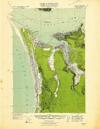
1919 · Astoria
USGS Topo · 1:62,500
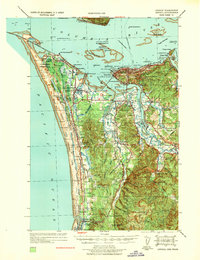
1939 · Astoria
USGS Topo · 1:62,500
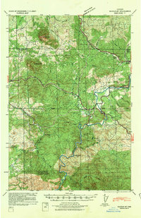
1939 · Saddle Mountain
USGS Topo · 1:62,500
1940 · Svensen
USGS Topo · 1:62,500
1940 · Cape Falcon
USGS Topo · 1:62,500
1943 · Saddle Mtn.
USGS Topo · 1:62,500

1948 · Vancouver
USGS Topo · 1:250,000
1949 · Astoria
USGS Topo · 1:24,000
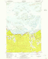
1949 · Cathlamet Bay
USGS Topo · 1:24,000
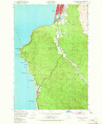
1949 · Tillamook Head
USGS Topo · 1:24,000