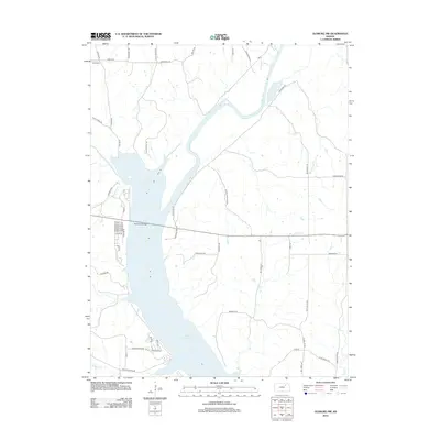
2012 Map of Olsburg NW
USGS Topo · Published 2012About this map
Tuttle Creek Lake dominates this Riley County landscape, its expansive waters submerging the valley where the Big Blue River once flowed freely. The 2012 topography shows the modern infrastructure required to traverse this reservoir, most notably the significant Randolph Bridge carrying traffic across the northern reach of the lake. The surrounding terrain is deeply dissected by numerous named drainages, including Halls Ravine and Burklund Ravine, which hint at the complex erosion patterns typical of this Kansas river valley. Local history is preserved in the road names that honor early settlers and geographic landmarks, such as Mariadahl Rd, Axelton Hill Rd, and Case Ravine Rd. Away from the main body of the lake, smaller tributaries like Dry Cr and Baldwin Cr carve through the prairie, defining the rural character of the uplands surrounding the water.
Find a feature on this map
48 named features on this map. Tap any name to fly to it.
Don’t see what you’re looking for? This feature index may not catch every label — zoom into the map to look around manually.
Map Details
Editions of this 2012 Olsburg NW Map
This is the sole edition of this map. No revisions or reprints were ever made.
Other maps of this area

1886 · Junction City
USGS Topo · 1:125,000

1889 · Marysville
USGS Topo · 1:125,000

1889 · Junction City
USGS Topo · 1:125,000

1894 · Junction City
USGS Topo · 1:125,000

1894 · Marysville
USGS Topo · 1:125,000

1955 · Manhattan
USGS Topo · 1:250,000

1956 · Manhattan
USGS Topo · 1:250,000

1957 · Manhattan
USGS Topo · 1:250,000
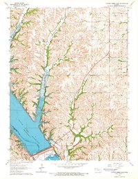
1964 · Tuttle Creek Dam
USGS Topo · 1:24,000
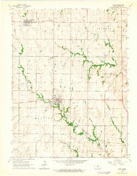
1964 · Riley
USGS Topo · 1:24,000