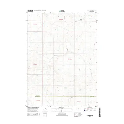
2015 Map of Olson Springs
USGS Topo · Published 2015About this map
Buffalo Basin dominates the central landscape of this high-desert region, where the high-altitude topography of the Great Divide Basin reveals a sparse network of seasonal water sources and early access routes. The Fremont and Sweetwater County line bisects the southern portion of the sheet, providing a critical reference point for local history and land management. Life in this arid environment centers on vital springs and catchments, such as Olson Springs, Smiley Springs, and the McKay Reservoirs. These water features were essential for the area's cattle and sheep ranching history, supporting livestock across the open range. Structural markers like the Bison Basin Rd and Riverview Cutoff indicate the established paths through the draw and basin, while Flattop Buttes serves as a prominent navigational landmark against the basin floor.
Find a feature on this map
17 named features on this map. Tap any name to fly to it.
Don’t see what you’re looking for? This feature index may not catch every label — zoom into the map to look around manually.
Map Details
Editions of this 2015 Olson Springs Map
This is the sole edition of this map. No revisions or reprints were ever made.
Other maps of this area
1951 · Soap Holes
USGS Topo · 1:24,000
1953 · Barras Springs
USGS Topo · 1:24,000
1953 · Happy Spring
USGS Topo · 1:24,000

1955 · Lander
USGS Topo · 1:250,000

1958 · Lander
USGS Topo · 1:250,000
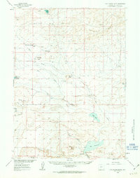
1960 · Five Fingers Butte
USGS Topo · 1:62,500
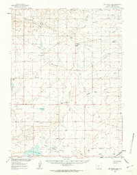
1960 · Lost Creek Lake
USGS Topo · 1:62,500

1961 · Lander
USGS Topo · 1:250,000
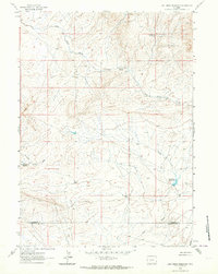
1961 · Lost Creek Reservoir
USGS Topo · 1:24,000
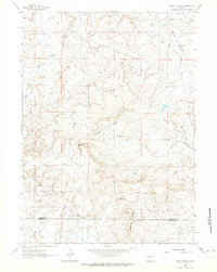
1961 · Olson Springs
USGS Topo · 1:24,000