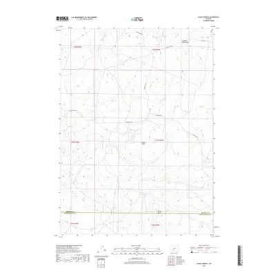
2017 Map of Olson Springs
USGS Topo · Published 2017About this map
Olson Springs and Smiley Springs highlight the critical role of water sources in this high-desert reach of the Great Divide Basin. The landscape is defined by the broad Buffalo Basin and the distinct volcanic or erosional forms of the Flattop Buttes along the Sweetwater and Fremont county line. Human activity is evidenced by a network of back-country routes including the Riverview Cutoff, Buffalo Basin Rd, and Bison Basin Rd, which provide access to range improvements like the McKay Reservoirs. Drainages such as Stinking Springs Draw, W Alkali Cr, and E Alkali Cr underscore the alkaline nature of the local hydrology, essential for understanding the historical grazing patterns and land use of the Wyoming interior during the early 21st century.
Find a feature on this map
21 named features on this map. Tap any name to fly to it.
Don’t see what you’re looking for? This feature index may not catch every label — zoom into the map to look around manually.
Map Details
Editions of this 2017 Olson Springs Map
This is the sole edition of this map. No revisions or reprints were ever made.
Other maps of this area
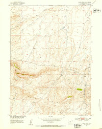
1951 · Soap Holes
USGS Topo · 1:24,000
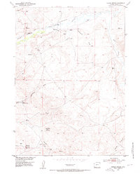
1953 · Barras Springs
USGS Topo · 1:24,000
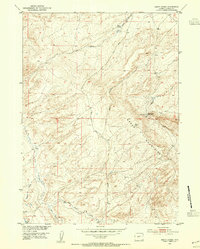
1953 · Happy Spring
USGS Topo · 1:24,000

1955 · Lander
USGS Topo · 1:250,000

1958 · Lander
USGS Topo · 1:250,000
1960 · Five Fingers Butte
USGS Topo · 1:62,500
1960 · Lost Creek Lake
USGS Topo · 1:62,500

1961 · Lander
USGS Topo · 1:250,000
1961 · Lost Creek Reservoir
USGS Topo · 1:24,000
1961 · Olson Springs
USGS Topo · 1:24,000