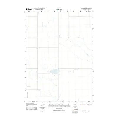
2012 Map of Olsonville SW
USGS Topo · Published 2012About this map
Lakeview serves as the primary settlement within this Todd County landscape, situated amidst the drainage basins of several intermittent streams. The geography is defined by the winding paths of Antelope Cr to the north and the diverging branches of Rock Cr and Dry Cr that carve through the prairie. Central to the area is White Lake, a prominent water feature that provides a focal point for local topography and land use. For those tracing family histories or regional burial sites, the map clearly identifies two significant locations: Lakeview Cem near the town site and Saint Agnes Cem further south. The transportation network is anchored by the Crookston and Lakeview Rd, which facilitates movement through this section of the Antelope Segment, connecting isolated homesteads and religious sites.
Find a feature on this map
8 named features on this map. Tap any name to fly to it.
Don’t see what you’re looking for? This feature index may not catch every label — zoom into the map to look around manually.
Map Details
Editions of this 2012 Olsonville SW Map
This is the sole edition of this map. No revisions or reprints were ever made.
Other maps of this area

1950 · Kilgore
USGS Topo · 1:62,500

1950 · Valentine
USGS Topo · 1:62,500

1955 · Martin
USGS Topo · 1:250,000

1957 · Valentine
USGS Topo · 1:250,000

1958 · Martin
USGS Topo · 1:250,000

1959 · Valentine
USGS Topo · 1:250,000

1969 · Olsonville NW
USGS Topo · 1:24,000

1969 · Rosebud
USGS Topo · 1:24,000

1969 · Olsonville SW
USGS Topo · 1:24,000

1969 · St. Francis SE
USGS Topo · 1:24,000