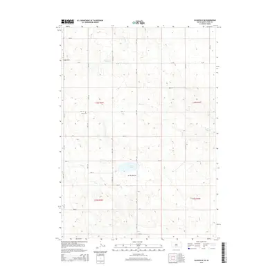
2015 Map of Olsonville SW
USGS Topo · Published 2015About this map
Lakeview anchors the northwestern corner of this South Dakota landscape, situated just south of the state line in the Antelope Segment of Todd County. This 2015 survey reveals a terrain defined by subtle elevation changes and seasonal watercourses, where drainage systems like Antelope Cr and Rock Cr carve through the prairie. The most prominent hydrological feature is White Lake, located centrally near the intersection of 301st St and 272nd Ave. Genealogy and local history are preserved at the Lakeview Cem and the Saint Agnes Cem, providing fixed points of reference for families tied to this rural district. A rigid grid of section lines and gravel routes, including Home Rd and CR-105, facilitates transit across the open range, connecting isolated farmsteads and agricultural plots within the Rosebud Reservation area.
Find a feature on this map
29 named features on this map. Tap any name to fly to it.
Don’t see what you’re looking for? This feature index may not catch every label — zoom into the map to look around manually.
Map Details
Editions of this 2015 Olsonville SW Map
This is the sole edition of this map. No revisions or reprints were ever made.
Other maps of this area

1950 · Kilgore
USGS Topo · 1:62,500

1950 · Valentine
USGS Topo · 1:62,500

1955 · Martin
USGS Topo · 1:250,000

1957 · Valentine
USGS Topo · 1:250,000

1958 · Martin
USGS Topo · 1:250,000

1959 · Valentine
USGS Topo · 1:250,000

1969 · Olsonville NW
USGS Topo · 1:24,000

1969 · Rosebud
USGS Topo · 1:24,000

1969 · Olsonville SW
USGS Topo · 1:24,000

1969 · St. Francis SE
USGS Topo · 1:24,000