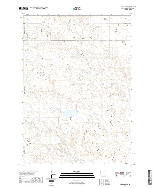
2021 Map of Olsonville SW
USGS Topo · Published 2021About this map
The settlement of Lakeview and its surrounding prairie landscape define this portion of Todd County on the Rosebud Indian Reservation. This rural landscape is anchored by significant local landmarks, including the Sacred Heart Catholic Cem and Lakeview Cem, which serve as vital touchstones for genealogical research in the region. The terrain is marked by seasonal drainages and water bodies such as White Lake, along with the winding paths of Antelope Cr and Rock Cr. Further south, the Saint Agnes Cem sits near the banks of Dry Cr, illustrating how early community life and burial grounds were frequently situated near available water sources. The local transportation network is dominated by the Crookston & Lakeview Rd, providing a primary artery through the open townships of the Great Plains.
Find a feature on this map
16 named features on this map. Tap any name to fly to it.
Don’t see what you’re looking for? This feature index may not catch every label — zoom into the map to look around manually.
Map Details
Editions of this 2021 Olsonville SW Map
This is the sole edition of this map. No revisions or reprints were ever made.
Other maps of this area

1950 · Kilgore
USGS Topo · 1:62,500

1950 · Valentine
USGS Topo · 1:62,500

1955 · Martin
USGS Topo · 1:250,000

1957 · Valentine
USGS Topo · 1:250,000

1958 · Martin
USGS Topo · 1:250,000

1959 · Valentine
USGS Topo · 1:250,000

1969 · Olsonville NW
USGS Topo · 1:24,000

1969 · Rosebud
USGS Topo · 1:24,000

1969 · Olsonville SW
USGS Topo · 1:24,000

1969 · St. Francis SE
USGS Topo · 1:24,000