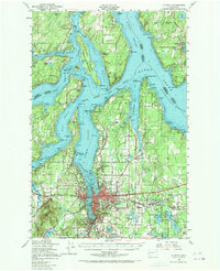
1949 Map of Olympia
USGS Topo · Published 1970About this map
Olympia and its surrounding inlets define the intricate shoreline of the southern Puget Sound in this late 1940s survey. The state's political heart is anchored by the State Capitol, while the industrial and transport character of the era is evident in the Northern Pacific rail lines serving Tumwater and Union Mills. This landscape is a complex network of peninsulas and passages, featuring the Squaxon Island Indian Reservation and Hartstene Island.
Find a feature on this map
94 named features on this map. Tap any name to fly to it.
Don’t see what you’re looking for? This feature index may not catch every label — zoom into the map to look around manually.
Map Details
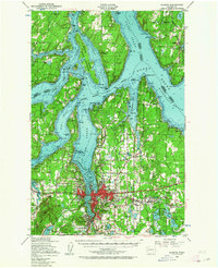
Editions of this 1949 Olympia Map
3 editions found

Other maps of this area

1916 · Chehalis
USGS Topo · 1:125,000

1937 · Olympia
USGS Topo · 1:62,500

1938 · Allyn
USGS Topo · 1:62,500

1939 · Shelton
USGS Topo · 1:62,500

1940 · Tenino
USGS Topo · 1:62,500

1940 · Anderson Island
USGS Topo · 1:62,500

1941 · Gate
USGS Topo · 1:62,500

1942 · Gig Harbor
USGS Topo · 1:62,500

1943 · Potlatch
USGS Topo · 1:62,500

1943 · Gig Harbor
USGS Topo · 1:62,500