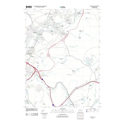
2010 Map of Olyphant
USGS Topo · Published 2010About this map
Peckville and Jessup sit at the heart of this valley landscape, where the legacies of the anthracite coal industry are deeply etched into the terrain. The map identifies specific industrial artifacts such as the Grass Island Breaker, the Grassy Island Shaft, and the White Oak Slope Mine, along with the Pancoast Shaft further south near Throop. These labels point to a history of subsurface extraction that shaped the growth of communities like Olyphant and Blakely.
Find a feature on this map
94 named features on this map. Tap any name to fly to it.
Don’t see what you’re looking for? This feature index may not catch every label — zoom into the map to look around manually.
Map Details
Editions of this 2010 Olyphant Map
This is the sole edition of this map. No revisions or reprints were ever made.
Other maps of this area

1889 · Scranton
USGS Topo · 1:62,500

1891 · Scranton
USGS Topo · 1:62,500

1892 · Honesdale
USGS Topo · 1:62,500

1892 · Dundaff
USGS Topo · 1:62,500

1893 · Scranton
USGS Topo · 1:62,500

1928 · Ariel
USGS Topo · 1:62,500

1932 · Ariel
USGS Topo · 1:62,500

1943 · Scranton
USGS Topo · 1:125,000

1943 · Honesdale
USGS Topo · 1:125,000

1946 · Dalton
USGS Topo · 1:24,000