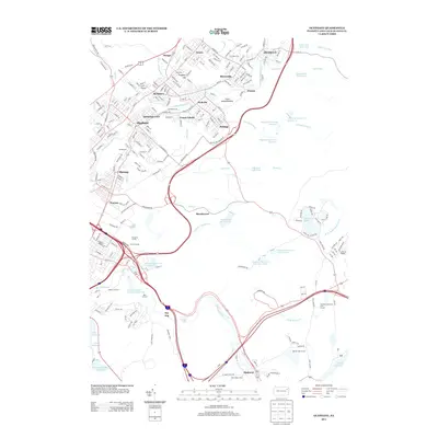
2013 Map of Olyphant
USGS Topo · Published 2013About this map
The Lackawanna River corridor north of Scranton is defined by a dense string of valley settlements including Olyphant, Blakely, and Archbald. This 2013 topographic study reveals an industrial landscape heavily shaped by its anthracite heritage, most notably at the Grass Island Breaker near Jessup. The surrounding uplands are dominated by an extensive network of water management features, such as the Scranton Water Company Reservoir, O'Conner Reservoir, and the tiered Olyphant Reservoir Number 1. Subsurface infrastructure is also represented by Finnertys Tunnel and Swartz Tunnel near Roaring Brook. To the east, the terrain transitions into the recreation-focused basins of Moosic Lakes, while the southern reaches of the map highlight the institutional grounds of Saint Marys Villa in Elmhurst.
Find a feature on this map
226 named features on this map. Tap any name to fly to it.
Don’t see what you’re looking for? This feature index may not catch every label — zoom into the map to look around manually.
Map Details
Editions of this 2013 Olyphant Map
This is the sole edition of this map. No revisions or reprints were ever made.
Other maps of this area

1889 · Scranton
USGS Topo · 1:62,500

1891 · Scranton
USGS Topo · 1:62,500

1892 · Honesdale
USGS Topo · 1:62,500

1892 · Dundaff
USGS Topo · 1:62,500

1893 · Scranton
USGS Topo · 1:62,500

1928 · Ariel
USGS Topo · 1:62,500

1932 · Ariel
USGS Topo · 1:62,500

1943 · Scranton
USGS Topo · 1:125,000

1943 · Honesdale
USGS Topo · 1:125,000

1946 · Dalton
USGS Topo · 1:24,000