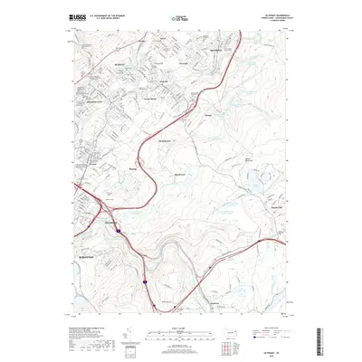
2019 Map of Olyphant
USGS Topo · Published 2019About this map
The Lackawanna River corridor through the northern Anthracite region reveals a dense mosaic of borough development and industrial legacy. Compact boroughs like Olyphant, Blakely, and Archbald follow the river’s path, their footprints marked by an extraordinary concentration of ethnic and denominational cemeteries, including Saint Nicholas Russian Orthodox Church Cem and Saint Mary's Czestochowa Cem. These sites reflect the diverse waves of immigration that defined the valley's labor history.
Find a feature on this map
116 named features on this map. Tap any name to fly to it.
Don’t see what you’re looking for? This feature index may not catch every label — zoom into the map to look around manually.
Map Details
Editions of this 2019 Olyphant Map
This is the sole edition of this map. No revisions or reprints were ever made.
Other maps of this area

1889 · Scranton
USGS Topo · 1:62,500

1891 · Scranton
USGS Topo · 1:62,500

1892 · Honesdale
USGS Topo · 1:62,500

1892 · Dundaff
USGS Topo · 1:62,500

1893 · Scranton
USGS Topo · 1:62,500

1928 · Ariel
USGS Topo · 1:62,500

1932 · Ariel
USGS Topo · 1:62,500

1943 · Scranton
USGS Topo · 1:125,000

1943 · Honesdale
USGS Topo · 1:125,000

1946 · Dalton
USGS Topo · 1:24,000