Loading...
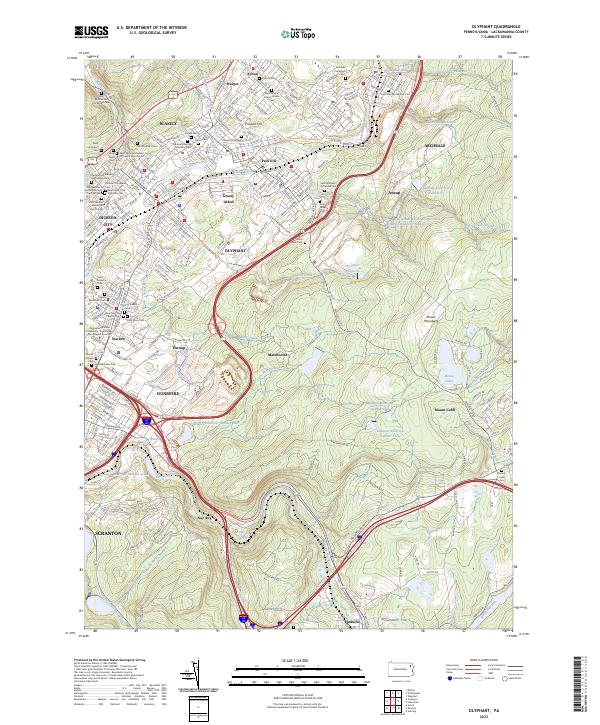
Loading map...2023 Map of Olyphant
USGS Topo · Published 2023About this map
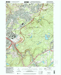
The Lackawanna River corridor defines the geography of this valley, where a dense string of industrial-era settlements like Olyphant, Blakely, and Dickson City evolved alongside the river's path. This map captures a landscape deeply rooted in ethnic and religious history, evidenced by the high concentration of cemeteries and parish sites including Saint Nicholas Russian Orthodox Church Cem, Saint Mary's Czestochowa Cem, and Saint Adalbert Polish National Catholic Cem.
Find a feature on this map
227 named features on this map. Tap any name to fly to it.
Don’t see what you’re looking for? This feature index may not catch every label — zoom into the map to look around manually.
Map Details
Date Portrayed2023
Date Published2023
PublisherU.S. Geological Survey
Map TypeTopographic
Scale1:24000
Physical Dimensions24 x 29 inches
Editions of this 2023 Olyphant Map
This is the sole edition of this map. No revisions or reprints were ever made.
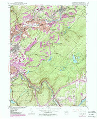
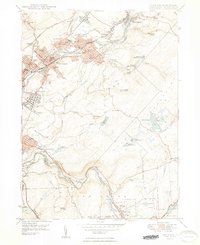
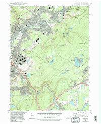
Historical Maps of Archbald Through Time
5 maps found
Featured Locations
Source Details
SourceU.S. Geological Survey
CopyrightPublic Domain