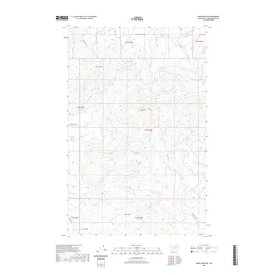
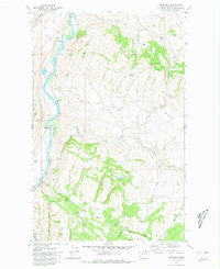
2020 Map of Omak Mountain
USGS Topo · Published 2020About this map
Omak Mtn dominates this high-country landscape in the Colville Indian Reservation, rising above the complex network of mountain roads and seasonal drainages of Okanogan County. The terrain transitions from the deep Wanacut Basin near Browns Pass in the north to the distinctive high points of Van Brunt Mtn and Gordon Butte further south. Local names like Clough Homestead RD and Tedrow Trail RD point to the area's pioneer and ranching history, while old transportation routes like the Stage Coach Trl trace through the northeastern ridges. Water is a defining scarce resource here, marked by isolated points like Gordon Spring and Crisoe Spring, which serve the grazing lands of French Valley and the surrounding basins.
Find a feature on this map
29 named features on this map. Tap any name to fly to it.
Don’t see what you’re looking for? This feature index may not catch every label — zoom into the map to look around manually.
Map Details
Editions of this 2020 Omak Mountain Map
This is the sole edition of this map. No revisions or reprints were ever made.
Other maps of this area
1902 · Osoyoos
USGS Topo · 1:125,000
1904 · Osoyoos
USGS Topo · 1:125,000
1952 · Disautel
USGS Topo · 1:62,500
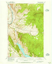
1953 · Omak Lake
USGS Topo · 1:62,500

1954 · Okanogan
USGS Topo · 1:250,000
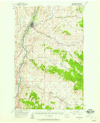
1957 · Tonasket
USGS Topo · 1:62,500
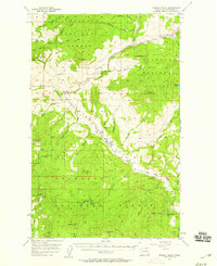
1957 · Aeneas Valley
USGS Topo · 1:62,500

1958 · Okanogan
USGS Topo · 1:250,000
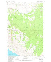
1980 · Camp Seven
USGS Topo · 1:24,000
1980 · Keystone
USGS Topo · 1:24,000