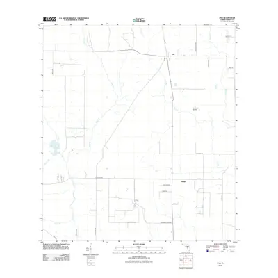
2012 Map of Ona
USGS Topo · Published 2012About this map
Ona serves as the primary hub in this agricultural region of Hardee County, where a network of rural roads such as Dink Albritton Rd and Whitehurst Rd connects dispersed farmsteads and citrus groves. The landscape is defined by the convergence of several waterways, including the winding paths of Horse Cr and Oak Cr. A significant portion of the southern geography is dedicated to the Cattle Experiment Sta, reflecting the importance of ranching and agricultural research to the local economy.
Find a feature on this map
34 named features on this map. Tap any name to fly to it.
Don’t see what you’re looking for? This feature index may not catch every label — zoom into the map to look around manually.
Map Details
Editions of this 2012 Ona Map
This is the sole edition of this map. No revisions or reprints were ever made.
Other maps of this area

1955 · Ft. Green
USGS Topo · 1:24,000

1955 · Wauchula
USGS Topo · 1:24,000

1956 · Gardner
USGS Topo · 1:24,000

1956 · Ona
USGS Topo · 1:24,000

1956 · Edgeville
USGS Topo · 1:24,000

1956 · Myakka Head
USGS Topo · 1:24,000

1956 · Limestone
USGS Topo · 1:24,000

1956 · Zolfo Springs
USGS Topo · 1:24,000

1956 · Duette
USGS Topo · 1:24,000

1956 · Tampa
USGS Topo · 1:250,000