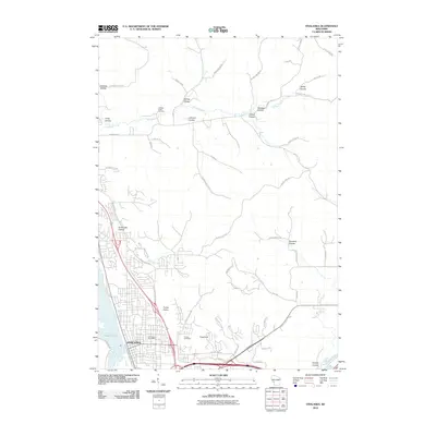
2010 Map of Onalaska
USGS Topo · Published 2010About this map
The city of Onalaska stands at a transition between the wetlands of French Lake and the dramatic bluff-and-valley topography of western Wisconsin. The landscape is defined by its coulees, deep narrow valleys that channel local waterways toward the larger basin. Features such as Sand Lake Coulee, Johnson Coulee, and Sweden Coulee illustrate the region's unique erosion patterns. In the northern reaches, the Halfway Creek Cemetery sits near the winding course of Halfway Creek, serving as a silent anchor for local family histories.
Find a feature on this map
56 named features on this map. Tap any name to fly to it.
Don’t see what you’re looking for? This feature index may not catch every label — zoom into the map to look around manually.
Map Details
Editions of this 2010 Onalaska Map
This is the sole edition of this map. No revisions or reprints were ever made.
Other maps of this area

1926 · North Bend
USGS Topo · 1:62,500

1927 · La Crosse
USGS Topo · 1:62,500

1929 · Galesville
USGS Topo · 1:62,500

1929 · North Bend
USGS Topo · 1:62,500

1930 · La Crescent
USGS Topo · 1:62,500

1930 · La Crosse
USGS Topo · 1:62,500

1953 · Eau Claire
USGS Topo · 1:250,000

1956 · La Crescent
USGS Topo · 1:62,500

1958 · Eau Claire
USGS Topo · 1:250,000

1958 · La Crosse
USGS Topo · 1:250,000