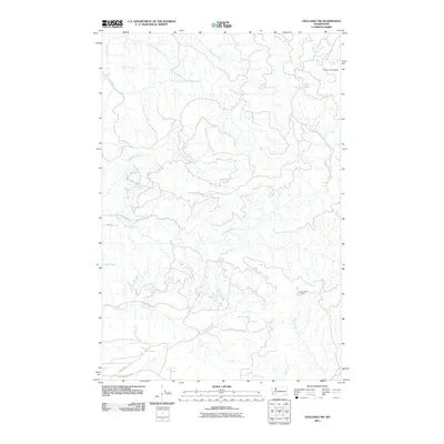
2011 Map of Onalaska NW
USGS Topo · Published 2011About this map
The North Fork Newaukum River and its intricate network of tributaries define this part of Lewis County, where timber management and fire surveillance remain central to the landscape. Two key vantage points, Hunters Cabin Lookout in the northeast and Lucas Creek Lookout further south, indicate the historical importance of forest protection in this drainage-heavy region. The map reveals a transition from the lower elevations near Centralia Alpha Rd to the more deeply carved stream valleys of Hanaford Creek and Mitchell Creek. These waterways, including Lucas Creek and Thompson Creek, suggest a terrain shaped by the runoff of the Cascades foothills. While roads like Lucas Creek Rd and Oppelt Rd provide access into the interior, the density of smaller unnamed drainages emphasizes the area's predominantly rural and undeveloped character during the early 21st century.
Find a feature on this map
15 named features on this map. Tap any name to fly to it.
Don’t see what you’re looking for? This feature index may not catch every label — zoom into the map to look around manually.
Map Details
Editions of this 2011 Onalaska NW Map
This is the sole edition of this map. No revisions or reprints were ever made.
Other maps of this area

1916 · Chehalis
USGS Topo · 1:125,000

1940 · Tenino
USGS Topo · 1:62,500

1943 · Willapa
USGS Topo · 1:62,500

1944 · Tenino
USGS Topo · 1:62,500

1944 · Yelm
USGS Topo · 1:62,500

1949 · Yelm
USGS Topo · 1:62,500

1949 · Tenino
USGS Topo · 1:62,500

1953 · Hoquiam
USGS Topo · 1:250,000

1954 · Onalaska
USGS Topo · 1:62,500

1954 · Centralia
USGS Topo · 1:62,500