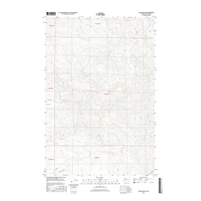
2017 Map of Onalaska NW
USGS Topo · Published 2017About this map
The N-Fork-Newaukum-River and its various tributaries define this section of Lewis County, where the drainage systems of Hanaford Cr, Mitchell Cr, and Lucas Cr carve through the landscape. This 2017 survey shows a region largely characterized by its hydrology and a network of rural corridors. Established transit routes like Centralia Alpha Rd and Lucas Creek Rd provide the primary access through the southern reaches, while the northern terrain remains more isolated, accessed by a singular Foot Path near Fall Cr. The map's detailed topography reveals how these waterways, including Coal Cr and Thompson Cr, dictate the placement of local roads such as N Fork Rd and Pigeon Springs Rd. The lack of dense settlement names underscores the area's role as a working landscape of timber and watershed management.
Find a feature on this map
22 named features on this map. Tap any name to fly to it.
Don’t see what you’re looking for? This feature index may not catch every label — zoom into the map to look around manually.
Map Details
Editions of this 2017 Onalaska NW Map
This is the sole edition of this map. No revisions or reprints were ever made.
Other maps of this area
1916 · Chehalis
USGS Topo · 1:125,000
1940 · Tenino
USGS Topo · 1:62,500
1943 · Willapa
USGS Topo · 1:62,500
1944 · Tenino
USGS Topo · 1:62,500
1944 · Yelm
USGS Topo · 1:62,500
1949 · Yelm
USGS Topo · 1:62,500
1949 · Tenino
USGS Topo · 1:62,500

1953 · Hoquiam
USGS Topo · 1:250,000
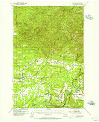
1954 · Onalaska
USGS Topo · 1:62,500
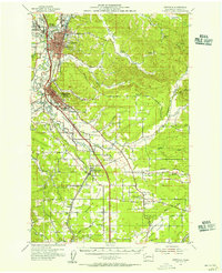
1954 · Centralia
USGS Topo · 1:62,500