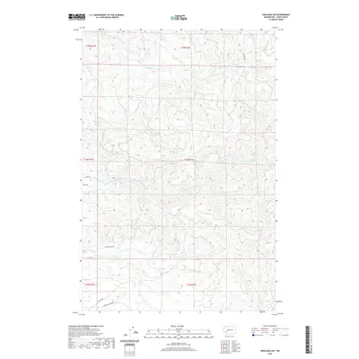
2020 Map of Onalaska NW
USGS Topo · Published 2020About this map
The N Fork Newaukum River carves a central path through this Lewis County landscape, where the terrain is defined by a dense network of drainage systems. Water bodies like Hanaford Cr, Mitchell Cr, and Lucas Cr intersect the township and range lines, illustrating the complex topography of the Pacific Northwest. Road systems such as Centralia Alpha Rd and Lucas Creek Rd suggest the primary corridors of travel and early settlement patterns in the valleys. A notable Foot Path in the northeastern corner indicates more localized, non-vehicular access through the hills. This 2020 survey provides a high-resolution view of the area's hydrology and modern road infrastructure, including Oppelt Rd and N Fork Rd, which link the various drainages of the Fall Cr and Coal Cr watersheds.
Find a feature on this map
20 named features on this map. Tap any name to fly to it.
Don’t see what you’re looking for? This feature index may not catch every label — zoom into the map to look around manually.
Map Details
Editions of this 2020 Onalaska NW Map
This is the sole edition of this map. No revisions or reprints were ever made.
Other maps of this area

1916 · Chehalis
USGS Topo · 1:125,000

1940 · Tenino
USGS Topo · 1:62,500

1943 · Willapa
USGS Topo · 1:62,500

1944 · Tenino
USGS Topo · 1:62,500

1944 · Yelm
USGS Topo · 1:62,500

1949 · Yelm
USGS Topo · 1:62,500

1949 · Tenino
USGS Topo · 1:62,500

1953 · Hoquiam
USGS Topo · 1:250,000

1954 · Onalaska
USGS Topo · 1:62,500

1954 · Centralia
USGS Topo · 1:62,500