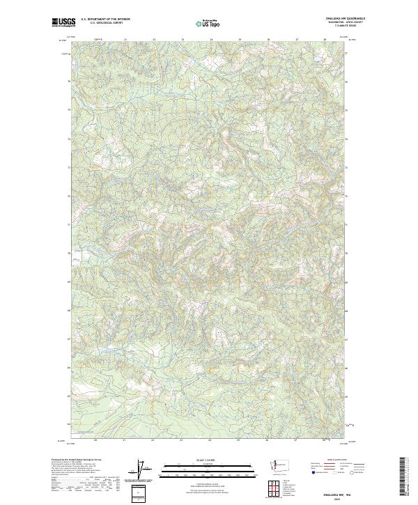
2023 Map of Onalaska NW
USGS Topo · Published 2023About this map
The North Fork Newaukum River and its numerous tributaries dominate this drainage-rich portion of Lewis County. The landscape is defined by the winding paths of Hanaford Creek, Mitchell Creek, and Lucas Creek, which carve through the terrain between the northern and southern boundaries. While largely focused on these water systems, the map traces the rural road network that connects these valleys, including Centralia-Alpha Rd and Pigeon Springs Rd. This survey reflects the modern configuration of land divisions across townships such as t14n r1e, where the road layout typically follows the natural contours of the creek beds. It is a detailed representation of the hydrological network that has shaped local settlement and land use in this part of Washington.
Find a feature on this map
20 named features on this map. Tap any name to fly to it.
Don’t see what you’re looking for? This feature index may not catch every label — zoom into the map to look around manually.
Map Details
Editions of this 2023 Onalaska NW Map
This is the sole edition of this map. No revisions or reprints were ever made.
Other maps of this area
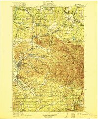
1916 · Chehalis
USGS Topo · 1:125,000
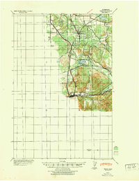
1940 · Tenino
USGS Topo · 1:62,500
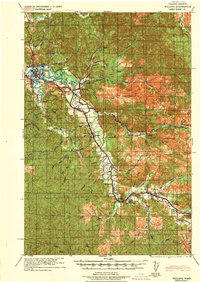
1943 · Willapa
USGS Topo · 1:62,500
1944 · Tenino
USGS Topo · 1:62,500
1944 · Yelm
USGS Topo · 1:62,500
1949 · Yelm
USGS Topo · 1:62,500
1949 · Tenino
USGS Topo · 1:62,500

1953 · Hoquiam
USGS Topo · 1:250,000
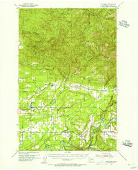
1954 · Onalaska
USGS Topo · 1:62,500
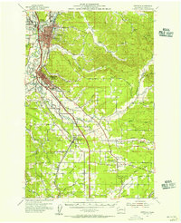
1954 · Centralia
USGS Topo · 1:62,500