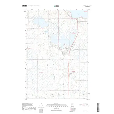
2019 Map of Onamia
USGS Topo · Published 2019About this map
Lake Onamia and the surrounding marshlands of Mille Lacs County dominate this landscape, where the Rum River flows south toward the Bradbury Brook tributaries. The settlement of Onamia serves as the central hub, situated along the southern shore of the lake. Local heritage is preserved in several burial grounds, including Crosier Cem, Holy Cross Cem, and Mount Pleasant Cem, which anchor the community's historical geography.
Find a feature on this map
39 named features on this map. Tap any name to fly to it.
Don’t see what you’re looking for? This feature index may not catch every label — zoom into the map to look around manually.
Map Details
Editions of this 2019 Onamia Map
This is the sole edition of this map. No revisions or reprints were ever made.
Other maps of this area

1953 · Duluth
USGS Topo · 1:250,000

1953 · Stillwater
USGS Topo · 1:250,000

1955 · Stillwater
USGS Topo · 1:250,000

1958 · Stillwater
USGS Topo · 1:250,000

1958 · Duluth
USGS Topo · 1:250,000

1965 · Stillwater
USGS Topo · 1:250,000

1968 · Onamia NW
USGS Topo · 1:24,000

1968 · Ramey NE
USGS Topo · 1:24,000

1968 · Milaca NE
USGS Topo · 1:24,000

1968 · Onamia
USGS Topo · 1:24,000