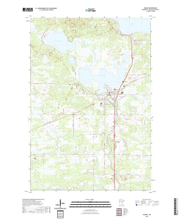
2022 Map of Onamia
USGS Topo · Published 2022About this map
The settlement of Onamia sits at the southern tip of Lake Onamia, a central focal point where the Rum River begins its journey southward. This landscape is defined by its proximity to the massive Mille Lacs Lake to the northeast, which drains into the smaller local basins of Shakopee Lake and Warren Lake. The town itself is a nexus for historical transportation, notably centered on the route of the Soo Line South: Mille Lacs Trail, reflecting the importance of the rail corridor to this region’s development.
Find a feature on this map
47 named features on this map. Tap any name to fly to it.
Don’t see what you’re looking for? This feature index may not catch every label — zoom into the map to look around manually.
Map Details
Editions of this 2022 Onamia Map
This is the sole edition of this map. No revisions or reprints were ever made.
Other maps of this area

1953 · Duluth
USGS Topo · 1:250,000

1953 · Stillwater
USGS Topo · 1:250,000

1955 · Stillwater
USGS Topo · 1:250,000

1958 · Stillwater
USGS Topo · 1:250,000

1958 · Duluth
USGS Topo · 1:250,000

1965 · Stillwater
USGS Topo · 1:250,000

1968 · Onamia NW
USGS Topo · 1:24,000

1968 · Ramey NE
USGS Topo · 1:24,000

1968 · Milaca NE
USGS Topo · 1:24,000

1968 · Onamia
USGS Topo · 1:24,000