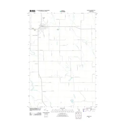
2011 Map of Onaway
USGS Topo · Published 2011About this map
The settlement of Onaway serves as the primary hub in this northern Michigan landscape, where a grid of local highways and secondary roads like Cobbs Hwy and Malone Hwy connect the town to the surrounding countryside. This 2011 survey reveals a community well-served by regional infrastructure, including the Leo E Goetz County Airport and recreational sites such as the Onaway Motor Speedway and Stoney Links Golf Course. The geography is defined by a complex network of waterways, most notably the winding courses of the Rainy River and Little Rainy River, alongside the Black River and Tomahawk Creek to the south.
Find a feature on this map
52 named features on this map. Tap any name to fly to it.
Don’t see what you’re looking for? This feature index may not catch every label — zoom into the map to look around manually.
Map Details
Editions of this 2011 Onaway Map
This is the sole edition of this map. No revisions or reprints were ever made.
Other maps of this area

1954 · Hetherton
USGS Topo · 1:62,500

1955 · Atlanta
USGS Topo · 1:62,500

1955 · Cheboygan
USGS Topo · 1:250,000

1957 · Tower
USGS Topo · 1:62,500

1957 · Onaway
USGS Topo · 1:62,500

1958 · Cheboygan
USGS Topo · 1:250,000

1982 · Petoskey
USGS Topo · 1:100,000
1986 · Onaway
USGS Topo · 1:24,000

1986 · Silver Lake
USGS Topo · 1:24,000
1986 · Millersburg
USGS Topo · 1:24,000