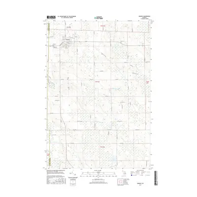
2017 Map of Onaway
USGS Topo · Published 2017About this map
Onaway serves as the primary hub of this northern Michigan landscape, situated at the junction of several regional transit routes. The settlement's layout is defined by a traditional grid, bordered to the west by Elmwood Cem and Saint Paul's Catholic Cem. A distinct recreational and transport corridor, the N Eastern State Trail, cuts diagonally across the northern townships, following the path of a former rail line through the dense wetlands. To the south, the terrain becomes increasingly defined by its water systems, including the winding course of the Black River and the isolated waters of Hackett Lake and Loon Lake. The presence of the Leo E. Goetz County Airport north of town underscores the area's role as a county service center, while smaller named localities like Allis reflect the scattered residential pattern of the outlying timber and lake country. The map captures the intricate drainage network of the Rainy River and Little Rainy River, which feed into the larger regional basins.
Find a feature on this map
74 named features on this map. Tap any name to fly to it.
Don’t see what you’re looking for? This feature index may not catch every label — zoom into the map to look around manually.
Map Details
Editions of this 2017 Onaway Map
This is the sole edition of this map. No revisions or reprints were ever made.
Other maps of this area

1954 · Hetherton
USGS Topo · 1:62,500

1955 · Atlanta
USGS Topo · 1:62,500

1955 · Cheboygan
USGS Topo · 1:250,000

1957 · Tower
USGS Topo · 1:62,500

1957 · Onaway
USGS Topo · 1:62,500

1958 · Cheboygan
USGS Topo · 1:250,000

1982 · Petoskey
USGS Topo · 1:100,000
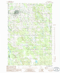
1986 · Onaway
USGS Topo · 1:24,000

1986 · Silver Lake
USGS Topo · 1:24,000
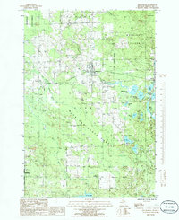
1986 · Millersburg
USGS Topo · 1:24,000