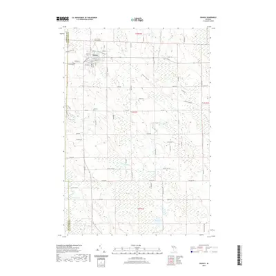
2019 Map of Onaway
USGS Topo · Published 2019About this map
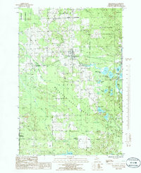
The city of Onaway serves as a northern hub in this Presque Isle County landscape, where the N Eastern State Trail cuts a diagonal path through the terrain. The community's grid is well-established, anchored by several historic burial sites including Elmwood Cem and the Saint Paul's Catholic Cem. To the north, the Leo E Goetz County Airport marks the edge of the settlement before the land transitions into a complex network of wetlands and waterways.
Find a feature on this map
71 named features on this map. Tap any name to fly to it.
Don’t see what you’re looking for? This feature index may not catch every label — zoom into the map to look around manually.
Map Details
Editions of this 2019 Onaway Map
This is the sole edition of this map. No revisions or reprints were ever made.
Other maps of this area
1954 · Hetherton
USGS Topo · 1:62,500
1955 · Atlanta
USGS Topo · 1:62,500

1955 · Cheboygan
USGS Topo · 1:250,000
1957 · Tower
USGS Topo · 1:62,500
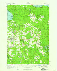
1957 · Onaway
USGS Topo · 1:62,500

1958 · Cheboygan
USGS Topo · 1:250,000
1982 · Petoskey
USGS Topo · 1:100,000
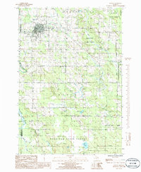
1986 · Onaway
USGS Topo · 1:24,000
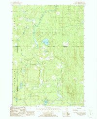
1986 · Silver Lake
USGS Topo · 1:24,000
1986 · Millersburg
USGS Topo · 1:24,000