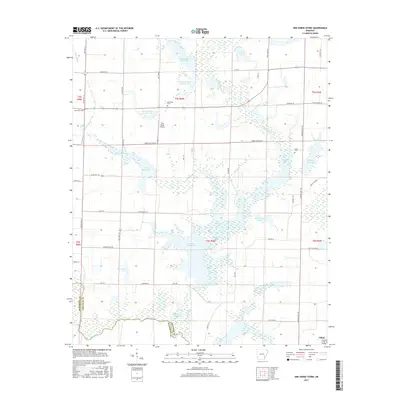
2017 Map of One Horse Store
USGS Topo · Published 2017About this map
One Horse Store and the town of Gillett anchor this 2017 survey of the Arkansas Delta, where the landscape is defined by an intricate network of drainage bayous and irrigation reservoirs. The map reveals the critical role of water management in the region, with numerous named catchments like Loyd Rodgers Reservoir, Wegert Reservoir, and Lumsdens Reservoir interspersed between the meandering paths of Bayou Meto and Mill Bayou. This agricultural topography is crisscrossed by a grid of rural routes such as State Hwy 11 and State Hwy 343, connecting isolated farmsteads and local landmarks.
Find a feature on this map
65 named features on this map. Tap any name to fly to it.
Don’t see what you’re looking for? This feature index may not catch every label — zoom into the map to look around manually.
Map Details
Editions of this 2017 One Horse Store Map
This is the sole edition of this map. No revisions or reprints were ever made.
Other maps of this area
1935 · Varner
USGS Topo · 1:62,500
1935 · Gillett
USGS Topo · 1:62,500
1941 · De Witt
USGS Topo · 1:62,500
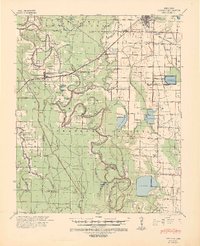
1941 · Goldman
USGS Topo · 1:62,500
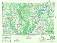
1948 · Helena
USGS Topo · 1:250,000
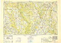
1950 · Helena
USGS Topo · 1:250,000
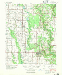
1954 · De Witt
USGS Topo · 1:62,500
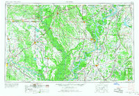
1955 · Helena
USGS Topo · 1:250,000
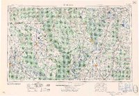
1959 · Helena
USGS Topo · 1:250,000
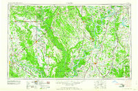
1960 · Helena
USGS Topo · 1:250,000