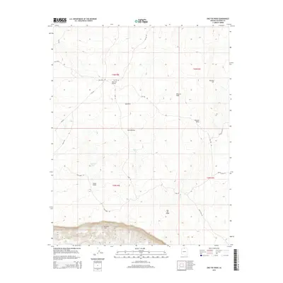
2014 Map of One Toe Ridge
USGS Topo · Published 2014About this map
The Vermilion Cliffs dominate the southern edge of this Coconino County terrain, where the high desert floor abruptly drops away in a series of dramatic contours. This 2014 survey documents the remote expanse of the Paria Plateau, a landscape defined by seasonal water resources like Badger Tank and Moquitch Tank. The map reveals a network of Bureau of Land Management routes, such as Dark Forest Rd and White Knoll Rd, which provide access to isolated landmarks including One Toe Ridge and the Mexican Sink. Between the elevated heights of Pinnacle Ridge and the low stretches of Corral Valley, the map illustrates how topography dictates movement and land use in this arid region, showing the placement of Pine Tree Pockets amidst the shifting Sand Hills.
Find a feature on this map
25 named features on this map. Tap any name to fly to it.
Don’t see what you’re looking for? This feature index may not catch every label — zoom into the map to look around manually.
Map Details
Editions of this 2014 One Toe Ridge Map
This is the sole edition of this map. No revisions or reprints were ever made.
Other maps of this area
1886 · Echo Cliffs
USGS Topo · 1:250,000
1886 · Kaibab
USGS Topo · 1:250,000
1891 · Echo Cliffs
USGS Topo · 1:250,000
1936 · Jacobs Lake
USGS Topo · 1:48,000
1940 · Jacob Lake
USGS Topo · 1:62,500
1953 · Jacobs Lake
USGS Topo · 1:62,500

1953 · Grand Canyon
USGS Topo · 1:250,000
1954 · Emmett Wash NE
USGS Topo · 1:24,000
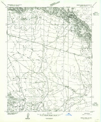
1954 · Emmett Wash NW
USGS Topo · 1:24,000
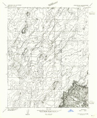
1954 · Paria Plateau SE
USGS Topo · 1:24,000