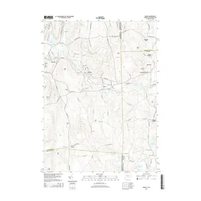
2015 Map of Oneco
USGS Topo · Published 2015About this map
Oneco and Sterling anchor this borderland survey, where the Moosup River winds through a landscape defined by small villages and family-named landmarks. The terrain transitions across the state line, marked by prominent elevations like Webb Hill and Carbuncle Hill. Local history is preserved in numerous burial grounds, including Riverside Cem near the river and the more remote Gallups Cem and Cedar Swamp Cem. The map reveals a community centered on these early settlements, with Rice City and Moosup Valley serving as distinct hubs in the eastern portion. The presence of the Ricconn Airport and various recreational waters such as Moosup Pond and Tillinghast Pond illustrate the modern use of this traditional New England landscape. The western edge is notably defined by the evocative Hell Hollow and its associated Hell Hollow Pond, indicating the more secluded reaches of the territory.
Find a feature on this map
130 named features on this map. Tap any name to fly to it.
Don’t see what you’re looking for? This feature index may not catch every label — zoom into the map to look around manually.
Map Details
Editions of this 2015 Oneco Map
This is the sole edition of this map. No revisions or reprints were ever made.
Other maps of this area

1889 · Putnam
USGS Topo · 1:62,500

1889 · Burrillville
USGS Topo · 1:62,500

1889 · Moosup
USGS Topo · 1:62,500

1890 · Kent
USGS Topo · 1:62,500

1893 · Putnam
USGS Topo · 1:62,500

1893 · Moosup
USGS Topo · 1:62,500

1894 · Burrillville
USGS Topo · 1:62,500

1894 · Kent
USGS Topo · 1:62,500

1915 · Burrillville
USGS Topo · 1:62,500

1919 · Putnam
USGS Topo · 1:62,500