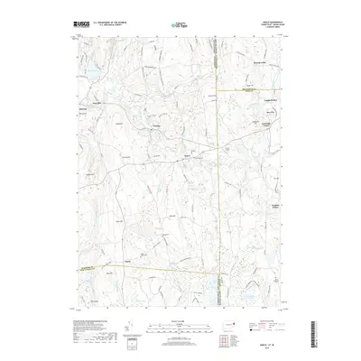
2018 Map of Oneco
USGS Topo · Published 2018About this map
Sterling and Oneco anchor this borderland survey, where the Moosup River valley carves through the undulating hills of eastern Connecticut and western Rhode Island. The landscape is defined by its abundance of water features and sprawling wetlands, including the expansive Cedar Swamp and Douglas Swamp. These natural barriers historically influenced the placement of early settlements and travel routes, leaving behind a network of quiet roads like Old American Schoolhouse Rd and Whip Poor Will Rd.
Find a feature on this map
127 named features on this map. Tap any name to fly to it.
Don’t see what you’re looking for? This feature index may not catch every label — zoom into the map to look around manually.
Map Details
Editions of this 2018 Oneco Map
This is the sole edition of this map. No revisions or reprints were ever made.
Other maps of this area

1889 · Putnam
USGS Topo · 1:62,500

1889 · Burrillville
USGS Topo · 1:62,500

1889 · Moosup
USGS Topo · 1:62,500

1890 · Kent
USGS Topo · 1:62,500

1893 · Putnam
USGS Topo · 1:62,500

1893 · Moosup
USGS Topo · 1:62,500

1894 · Burrillville
USGS Topo · 1:62,500

1894 · Kent
USGS Topo · 1:62,500

1915 · Burrillville
USGS Topo · 1:62,500

1919 · Putnam
USGS Topo · 1:62,500