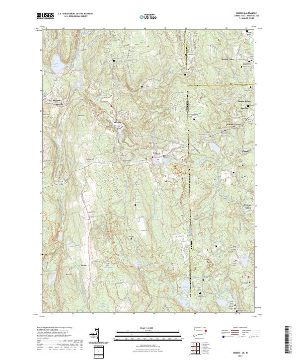
2024 Map of Oneco
USGS Topo · Published 2024About this map
Moosup River and its tributaries, such as Quanduck Brook and Snake Meadow Brook, define this borderland where Connecticut meets Rhode Island. The landscape is dense with family-named burial grounds, such as the Reverend Isaac Blanchard Lot - Wells Lot Cem and Josiah Potter Cem, which provide a detailed record of the families who settled this region. Several small communities, including Sterling, Oneco, and Greene, are linked by the Moosup Valley State Park Trl, tracing the path of a former railway through the wooded hills. To the south, the Pachaug State Forest covers much of the terrain around Hell Hollow and Bare Hill, where the network of small brooks like Cedar Swamp Brook and Ekonk Brook suggests a long history of water-powered industry and timber harvesting.
Find a feature on this map
159 named features on this map. Tap any name to fly to it.
Don’t see what you’re looking for? This feature index may not catch every label — zoom into the map to look around manually.
Map Details
Editions of this 2024 Oneco Map
This is the sole edition of this map. No revisions or reprints were ever made.
Other maps of this area

1889 · Putnam
USGS Topo · 1:62,500

1889 · Burrillville
USGS Topo · 1:62,500

1889 · Moosup
USGS Topo · 1:62,500

1890 · Kent
USGS Topo · 1:62,500

1893 · Putnam
USGS Topo · 1:62,500

1893 · Moosup
USGS Topo · 1:62,500

1894 · Burrillville
USGS Topo · 1:62,500

1894 · Kent
USGS Topo · 1:62,500

1915 · Burrillville
USGS Topo · 1:62,500

1919 · Putnam
USGS Topo · 1:62,500