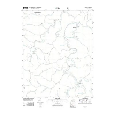
2011 Map of Oneida
USGS Topo · Published 2011About this map
The South Fork Kentucky River snakes through this Clay County landscape, creating dramatic bends and narrow passages like The Narrows. This mountainous region is defined by a dense network of hollows and gaps, such as Pole Cat Hollow, Becky Hollow, and Felty Gap, where small communities like Felty and Trixie are situated along winding roads. The map reveals a deeply rooted local history through its numerous family-named burial grounds, including the Sizemore Cemetery, King Cemetery, and Wilson Cemetery.
Find a feature on this map
86 named features on this map. Tap any name to fly to it.
Don’t see what you’re looking for? This feature index may not catch every label — zoom into the map to look around manually.
Map Details
Editions of this 2011 Oneida Map
This is the sole edition of this map. No revisions or reprints were ever made.
Other maps of this area

1891 · Manchester
USGS Topo · 1:125,000

1952 · Manchester
USGS Topo · 1:24,000

1953 · Oneida
USGS Topo · 1:24,000

1953 · Cowcreek
USGS Topo · 1:24,000

1953 · Big Creek
USGS Topo · 1:24,000

1953 · Mistletoe
USGS Topo · 1:24,000

1953 · Booneville
USGS Topo · 1:24,000

1953 · Sturgeon
USGS Topo · 1:24,000

1954 · Barcreek
USGS Topo · 1:24,000

1954 · Maulden
USGS Topo · 1:24,000