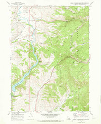
1969 Map of Oneida Narrows Reservoir
USGS Topo · Published 1973About this map
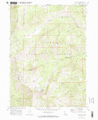
The Bear River dominates this Franklin County landscape, winding through the Mound Valley before being harnessed by the Oneida Narrows Reservoir. This late 1960s survey documents a sophisticated hydraulic and industrial infrastructure, including the Oneida Station substation, a large intake, and the Cleveland Canal. The presence of geothermal activity is noted at Maple Grove Hot Springs and Hot Springs, features that remain significant landmarks along the water’s edge.
Find a feature on this map
46 named features on this map. Tap any name to fly to it.
Don’t see what you’re looking for? This feature index may not catch every label — zoom into the map to look around manually.
Map Details
Editions of this 1969 Oneida Narrows Reservoir Map
This is the sole edition of this map. No revisions or reprints were ever made.
Other maps of this area

1915 · Preston
USGS Topo · 1:96,000

1918 · Preston
USGS Topo · 1:125,000

1955 · Preston
USGS Topo · 1:250,000

1958 · Preston
USGS Topo · 1:250,000

1962 · Preston
USGS Topo · 1:250,000
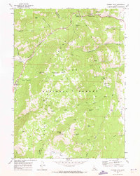
1969 · Midnight Mtn
USGS Topo · 1:24,000
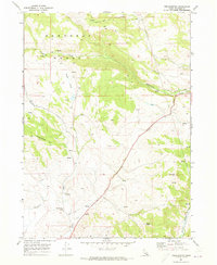
1969 · Treasureton
USGS Topo · 1:24,000
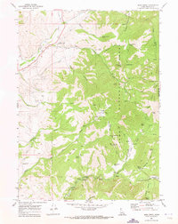
1969 · Mink Creek
USGS Topo · 1:24,000

1969 · North Canyon
USGS Topo · 1:24,000
1969 · Paris Peak
USGS Topo · 1:24,000