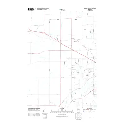
2013 Map of Oneida North
USGS Topo · Published 2013About this map
Duck Creek and the meandering channels of Trout Cr define the southeastern drainage of this landscape in Brown County, just as it appeared in the early 21st century. The map depicts a transition between agricultural holdings and expanding residential development, anchored by established rural settlements such as Pittsfield, Kunesh, and Anston. These small hubs, along with the notable Oneida Apple Orchard near the southern boundary, reflect a long-standing agricultural heritage that persists even as modern road networks like Wi-29 and Wi-32 facilitate greater connectivity to the nearby urban center of Green Bay. Further north, the branches of the W Br Suamico River and S Br Suamico River segment the terrain, while Mill Center sits at the intersection of local trade routes and newer suburban cul-de-sacs.
Find a feature on this map
82 named features on this map. Tap any name to fly to it.
Don’t see what you’re looking for? This feature index may not catch every label — zoom into the map to look around manually.
Map Details
Editions of this 2013 Oneida North Map
This is the sole edition of this map. No revisions or reprints were ever made.
Other maps of this area

1954 · De Pere
USGS Topo · 1:62,500

1954 · Green Bay West
USGS Topo · 1:24,000

1954 · De Pere
USGS Topo · 1:24,000

1954 · Green Bay
USGS Topo · 1:62,500

1955 · Appleton
USGS Topo · 1:62,500

1955 · Seymour
USGS Topo · 1:62,500

1955 · Green Bay
USGS Topo · 1:250,000

1974 · Seymour
USGS Topo · 1:24,000

1974 · Zachow
USGS Topo · 1:24,000
1974 · Oneida South
USGS Topo · 1:24,000