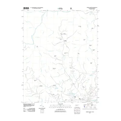
2011 Map of Oneida North
USGS Topo · Published 2011About this map
The Big South Fork Cumberland River carves a deep, winding path through this northern Scott County landscape, defining the topography of the Cumberland Plateau. On the high ground, family names are preserved through numerous local landmarks, such as Boyatt Cemetery near Foster Crossroads and Litton Cemetery in the southern reaches. The area's mid-century fire protection infrastructure is visible at the Slaven Knob Lookout Tower, while more modern water management is represented by the Conservation League Dam and Pine Creek Number Four Dam. The map details a transition from the denser residential development of West Oneida and Roberta to the significant elevation changes found at Indian Head Mountain and Pilot Rock. Numerous hollows, such as Sheeppen Hollow and Bill Dardy Hollow, reflect the traditional nomenclature of the region's complex drainage network.
Find a feature on this map
113 named features on this map. Tap any name to fly to it.
Don’t see what you’re looking for? This feature index may not catch every label — zoom into the map to look around manually.
Map Details
Editions of this 2011 Oneida North Map
This is the sole edition of this map. No revisions or reprints were ever made.
Other maps of this area

1890 · Williamsburg
USGS Topo · 1:125,000

1893 · Briceville
USGS Topo · 1:125,000

1894 · Williamsburg
USGS Topo · 1:125,000

1895 · Wartburg
USGS Topo · 1:125,000

1895 · Briceville
USGS Topo · 1:125,000

1896 · Wartburg
USGS Topo · 1:125,000

1896 · Briceville
USGS Topo · 1:125,000

1934 · Barthell
USGS Topo · 1:62,500

1952 · Helenwood
USGS Topo · 1:24,000

1952 · Honey Creek
USGS Topo · 1:24,000