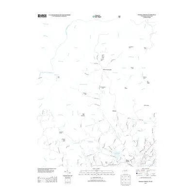
2013 Map of Oneida North
USGS Topo · Published 2013About this map
Big S Fork Cumberland River winds through the northwestern reaches of this terrain, anchoring a landscape defined by deep hollows and prominent ridges. Settlement is concentrated along the southern and eastern margins, with the residential areas of West Oneida and the smaller community of Roberta providing a contrast to the high, forested elevations of Indian Head Mountain and Chestnut Ridge. The network of backroads, including Marcumtown Rd and Grave Hill Rd, suggests a long history of timbering and rural homesteading in the valleys of Scott County.
Find a feature on this map
144 named features on this map. Tap any name to fly to it.
Don’t see what you’re looking for? This feature index may not catch every label — zoom into the map to look around manually.
Map Details
Editions of this 2013 Oneida North Map
This is the sole edition of this map. No revisions or reprints were ever made.
Other maps of this area

1890 · Williamsburg
USGS Topo · 1:125,000

1893 · Briceville
USGS Topo · 1:125,000

1894 · Williamsburg
USGS Topo · 1:125,000

1895 · Wartburg
USGS Topo · 1:125,000

1895 · Briceville
USGS Topo · 1:125,000

1896 · Wartburg
USGS Topo · 1:125,000

1896 · Briceville
USGS Topo · 1:125,000

1934 · Barthell
USGS Topo · 1:62,500

1952 · Helenwood
USGS Topo · 1:24,000

1952 · Honey Creek
USGS Topo · 1:24,000