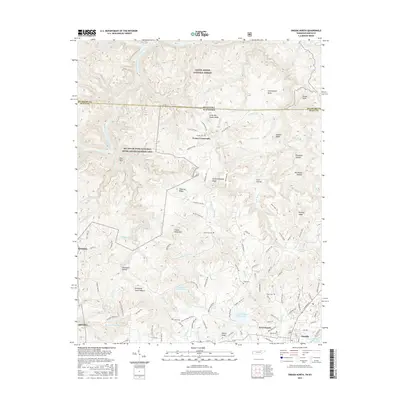
2016 Map of Oneida North
USGS Topo · Published 2016About this map
Indian Head Mtn and Puncheoncamp Knob dominate the dissected plateau landscape where the Tennessee-Kentucky state line meets the Big South Fork Cumberland River. This 2016 survey documents the rural character of northern Scott County, where small family-named ridges and hollows like Phillips Ridge and Sheeppen Hollow provide the geographic framework for local genealogy. The settlement of Foster Crossroads sits at a junction of backcountry roads, while the outskirts of Oneida and West Oneida begin to fill the southern reaches of the map. Tracing the historic paths of the Bsfnrra railroad corridor reveals the region's transport legacy. Numerous small burial grounds are dispersed throughout the hills, including Grave Hill Cem, Boyatt Cem, and Litton Cem, marking the deep-rooted presence of family homesteads across this heavily forested boundary region between the Daniel Boone National Forest and the Big South Fork National River and Recreation Area.
Find a feature on this map
135 named features on this map. Tap any name to fly to it.
Don’t see what you’re looking for? This feature index may not catch every label — zoom into the map to look around manually.
Map Details
Editions of this 2016 Oneida North Map
This is the sole edition of this map. No revisions or reprints were ever made.
Other maps of this area
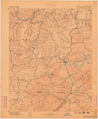
1890 · Williamsburg
USGS Topo · 1:125,000
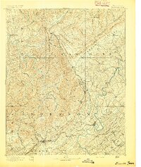
1893 · Briceville
USGS Topo · 1:125,000
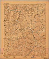
1894 · Williamsburg
USGS Topo · 1:125,000
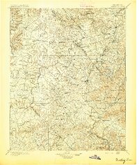
1895 · Wartburg
USGS Topo · 1:125,000
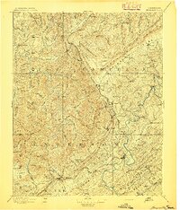
1895 · Briceville
USGS Topo · 1:125,000
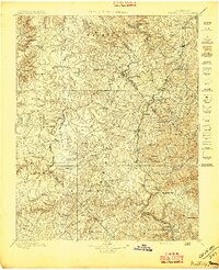
1896 · Wartburg
USGS Topo · 1:125,000
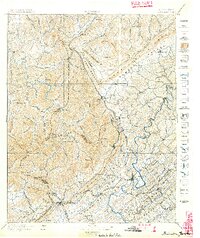
1896 · Briceville
USGS Topo · 1:125,000
1934 · Barthell
USGS Topo · 1:62,500
1952 · Helenwood
USGS Topo · 1:24,000
1952 · Honey Creek
USGS Topo · 1:24,000