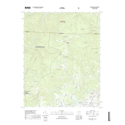
2019 Map of Oneida North
USGS Topo · Published 2019About this map
The Big South Fork Cumberland River winds through the western reaches of this Scott County landscape, defining the topography of the Big South Fork National River and Recreation Area. On the eastern side, the town of Oneida serves as the primary population center, with its grid of streets such as N Alberta Ave and W 3rd Ave transitioning into the outlying community of West Oneida. The terrain between these points is a network of ridges and hollows, including Chestnut Ridge and Phillips Ridge, where numerous family-associated cemeteries like Boyatt Cem, Litton Cem, and Marcum Kidd Cem are situated.
Find a feature on this map
128 named features on this map. Tap any name to fly to it.
Don’t see what you’re looking for? This feature index may not catch every label — zoom into the map to look around manually.
Map Details
Editions of this 2019 Oneida North Map
This is the sole edition of this map. No revisions or reprints were ever made.
Other maps of this area

1890 · Williamsburg
USGS Topo · 1:125,000

1893 · Briceville
USGS Topo · 1:125,000

1894 · Williamsburg
USGS Topo · 1:125,000

1895 · Wartburg
USGS Topo · 1:125,000

1895 · Briceville
USGS Topo · 1:125,000

1896 · Wartburg
USGS Topo · 1:125,000

1896 · Briceville
USGS Topo · 1:125,000

1934 · Barthell
USGS Topo · 1:62,500

1952 · Helenwood
USGS Topo · 1:24,000

1952 · Honey Creek
USGS Topo · 1:24,000