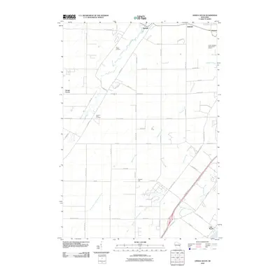
2010 Map of Oneida South
USGS Topo · Published 2010About this map
The community of Oneida and the surrounding township of Hobart define this landscape just west of the Fox River valley in the late 2000s. The terrain is characterized by a dense network of suburban and rural roads, including County Hwy U and French Rd, which reflect the area's steady growth and proximity to regional transportation hubs. To the northeast, the sprawling grounds of Austin Straubel International Airport mark the transition toward the metropolitan edge of Green Bay, while the southern reaches descend toward Little Rapids near the banks of the Fox River.
Find a feature on this map
57 named features on this map. Tap any name to fly to it.
Don’t see what you’re looking for? This feature index may not catch every label — zoom into the map to look around manually.
Map Details
Editions of this 2010 Oneida South Map
This is the sole edition of this map. No revisions or reprints were ever made.
Other maps of this area

1954 · De Pere
USGS Topo · 1:62,500

1954 · Green Bay West
USGS Topo · 1:24,000

1954 · De Pere
USGS Topo · 1:24,000

1954 · Green Bay
USGS Topo · 1:62,500

1955 · Appleton
USGS Topo · 1:62,500

1955 · Seymour
USGS Topo · 1:62,500

1955 · Green Bay
USGS Topo · 1:250,000

1974 · Seymour
USGS Topo · 1:24,000

1974 · Kaukauna
USGS Topo · 1:24,000

1974 · Greenleaf
USGS Topo · 1:24,000