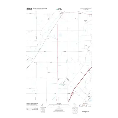
2013 Map of Oneida South
USGS Topo · Published 2013About this map
Oneida and Hobart anchor the northern landscape of this Brown County region, where the expansion of the Austin Straubel International Airport meets the winding rural drainage of Duck Creek. The area is defined by a series of significant tributaries, including Hemlock Cr and the various branches of Ashwaubenon Cr, which flow toward the Fox River at the southeastern corner of the quadrangle. Local landmarks such as Gopher Hill and the settlement at Chicago Corners provide geographical context for this transitional terrain. Further south, the community of Little Rapids sits near the riverbanks, marking a point of historic connectivity in the valley. The map documents the persistent road network, from the Path of the Bear to the established corridor of Co Hwy-U, illustrating the intersection of modern aviation infrastructure with traditional Wisconsin townships.
Find a feature on this map
71 named features on this map. Tap any name to fly to it.
Don’t see what you’re looking for? This feature index may not catch every label — zoom into the map to look around manually.
Map Details
Editions of this 2013 Oneida South Map
This is the sole edition of this map. No revisions or reprints were ever made.
Other maps of this area

1954 · De Pere
USGS Topo · 1:62,500

1954 · Green Bay West
USGS Topo · 1:24,000

1954 · De Pere
USGS Topo · 1:24,000

1954 · Green Bay
USGS Topo · 1:62,500

1955 · Appleton
USGS Topo · 1:62,500

1955 · Seymour
USGS Topo · 1:62,500

1955 · Green Bay
USGS Topo · 1:250,000

1974 · Seymour
USGS Topo · 1:24,000

1974 · Kaukauna
USGS Topo · 1:24,000

1974 · Greenleaf
USGS Topo · 1:24,000