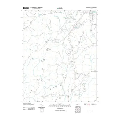
2010 Map of Oneida South
USGS Topo · Published 2010About this map
Oneida and the surrounding Scott County highlands are defined by a complex network of ridges and hollows that drop toward the New River. The landscape is dotted with small, family-named cemeteries and rural landmarks that reflect generations of settlement, including Sulphur Spring Cemetery and Duncan Cemetery. Near the New River Post Office, the river makes a sharp turn around Negro Bend and McCoy Rocks, passing through bottomlands like Reed Bottom.
Find a feature on this map
126 named features on this map. Tap any name to fly to it.
Don’t see what you’re looking for? This feature index may not catch every label — zoom into the map to look around manually.
Map Details
Editions of this 2010 Oneida South Map
This is the sole edition of this map. No revisions or reprints were ever made.
Other maps of this area

1890 · Williamsburg
USGS Topo · 1:125,000

1893 · Briceville
USGS Topo · 1:125,000

1894 · Williamsburg
USGS Topo · 1:125,000

1895 · Wartburg
USGS Topo · 1:125,000

1895 · Briceville
USGS Topo · 1:125,000

1896 · Wartburg
USGS Topo · 1:125,000

1896 · Briceville
USGS Topo · 1:125,000

1934 · Barthell
USGS Topo · 1:62,500

1952 · Helenwood
USGS Topo · 1:24,000

1952 · Honey Creek
USGS Topo · 1:24,000