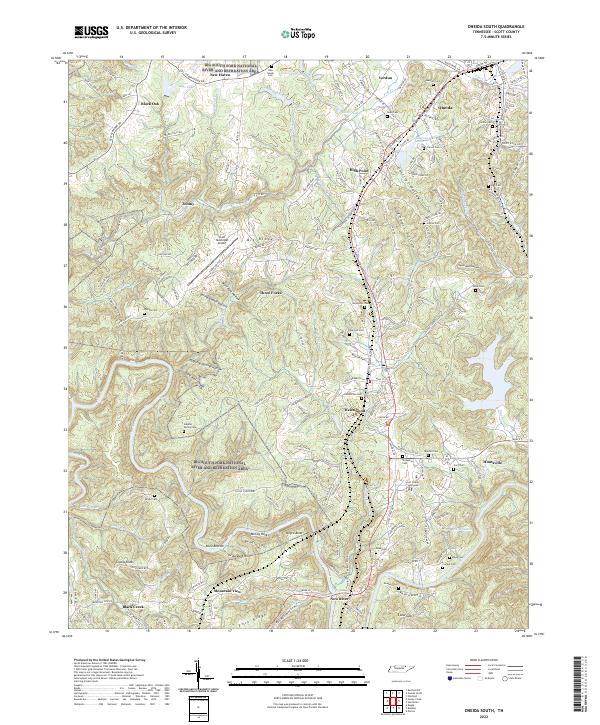
2022 Map of Oneida South
USGS Topo · Published 2022About this map
Huntsville and Oneida serve as focal points for this 2022 survey of Scott County, where the New River winds through a landscape defined by deep hollows and high ridges. The Scott County Courthouse marks the center of civic life in Huntsville, while to the west, the Big South Fork National River and Recreation Area preserves the dramatic terrain around the Clear Fork. The map reveals a dense network of family history markers, including the Sulphur Spring Cem, Pemberton Cem, and Honeycutt Cem. The transportation and industrial character of the region is evident in the proximity of Scott Municipal Airport to settlements like Toomy and Verdun. Local landmarks such as McCoy Rocks and the Bendix Spur show how geography and infrastructure have shaped this portion of the Cumberland Plateau.
Find a feature on this map
184 named features on this map. Tap any name to fly to it.
Don’t see what you’re looking for? This feature index may not catch every label — zoom into the map to look around manually.
Map Details
Editions of this 2022 Oneida South Map
This is the sole edition of this map. No revisions or reprints were ever made.
Other maps of this area

1890 · Williamsburg
USGS Topo · 1:125,000

1893 · Briceville
USGS Topo · 1:125,000

1894 · Williamsburg
USGS Topo · 1:125,000

1895 · Wartburg
USGS Topo · 1:125,000

1895 · Briceville
USGS Topo · 1:125,000

1896 · Wartburg
USGS Topo · 1:125,000

1896 · Briceville
USGS Topo · 1:125,000

1934 · Barthell
USGS Topo · 1:62,500

1952 · Helenwood
USGS Topo · 1:24,000

1952 · Honey Creek
USGS Topo · 1:24,000