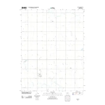
2011 Map of Ong
USGS Topo · Published 2011About this map
Ong anchors this portion of Clay County, serving as a concentrated point of settlement amidst a landscape defined by a precise section-line road grid. The village's social and civic core is visible through features like the Ong Post Office and the nearby Ong Cemetery. The surrounding agricultural terrain is etched by the meandering paths of Turkey Creek in the north and Little Sandy Creek in the south, which contrast sharply with the rigid geometry of the local transit network. This 2011 survey captures the area's rural character, where water management is marked by infrastructure like Yost Dam and Yost Reservoir. Genealogists will find particular value in the distribution of local burial grounds, including Fairview Cemetery and the Swedish Cemetery, which point to the diverse heritage and early community clusters that shaped this Nebraska prairie landscape.
Find a feature on this map
32 named features on this map. Tap any name to fly to it.
Don’t see what you’re looking for? This feature index may not catch every label — zoom into the map to look around manually.
Map Details
Editions of this 2011 Ong Map
This is the sole edition of this map. No revisions or reprints were ever made.
Other maps of this area

1898 · York
USGS Topo · 1:125,000

1898 · Hebron
USGS Topo · 1:125,000

1899 · York
USGS Topo · 1:125,000

1955 · Lincoln
USGS Topo · 1:250,000

1957 · Lincoln
USGS Topo · 1:250,000

1958 · Lincoln
USGS Topo · 1:250,000

1960 · Edgar
USGS Topo · 1:24,000

1960 · Davenport
USGS Topo · 1:24,000

1960 · Carleton
USGS Topo · 1:24,000
1969 · Ong
USGS Topo · 1:24,000