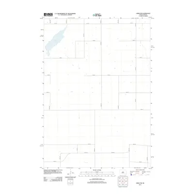
2012 Map of Onida SW
USGS Topo · Published 2012About this map
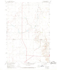
Warnes Slough defines the northwestern corner of this prairie landscape, serving as a primary hydrologic feature in a region characterized by a highly organized section-line road network. This early 21st-century survey reveals the geometric precision of rural South Dakota development, where arterial routes like Co Hwy-207 intersect with a grid of local avenues and streets, such as 297th Ave and 191st St. The map illustrates the sparsely populated nature of the High Plains, where vast tracts are organized for agricultural use around long-established section boundaries. Small farmsteads dot the land, particularly along the corridors of 301st Ave and 199th St, showing the persistence of the homestead-based settlement pattern in the modern era.
Find a feature on this map
18 named features on this map. Tap any name to fly to it.
Don’t see what you’re looking for? This feature index may not catch every label — zoom into the map to look around manually.
Map Details
Editions of this 2012 Onida SW Map
This is the sole edition of this map. No revisions or reprints were ever made.
Other maps of this area
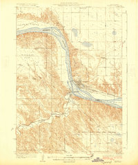
1924 · Pierre
USGS Topo · 1:62,500
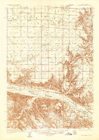
1934 · Canning
USGS Topo · 1:48,000
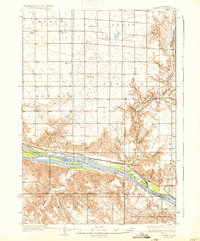
1937 · Canning
USGS Topo · 1:62,500

1954 · Pierre
USGS Topo · 1:250,000

1958 · Pierre
USGS Topo · 1:250,000
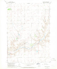
1965 · Okobojo NE
USGS Topo · 1:24,000
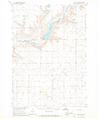
1965 · Sully Lake
USGS Topo · 1:24,000
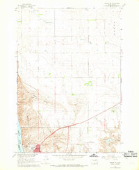
1967 · Pierre NE
USGS Topo · 1:24,000
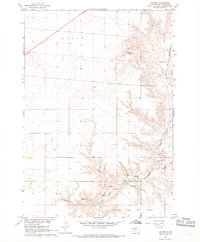
1967 · Canning
USGS Topo · 1:24,000
1967 · Onida SE
USGS Topo · 1:24,000