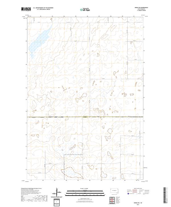
2021 Map of Onida SW
USGS Topo · Published 2021About this map
Warnes Slough defines the northwestern reaches of this prairie landscape, serving as a primary hydrological landmark in a region characterized by scattered wetlands and seasonal basins. Located on the transition between the Missouri Plateau and the glaciated plains, the terrain is structured by a methodical grid of section lines and rural corridors like 297th Ave and Co Rd 207. The map illustrates the sparsely populated border where Sully Co Hughes Co meet, a boundary that marks the divide between northern and southern drainage patterns in this part of South Dakota. The land-use pattern here remains centered on large-scale agricultural blocks, with the 2021 survey recording the contemporary placement of local access roads such as 196th St and 301st Ave that facilitate movement across the open plains.
Find a feature on this map
23 named features on this map. Tap any name to fly to it.
Don’t see what you’re looking for? This feature index may not catch every label — zoom into the map to look around manually.
Map Details
Editions of this 2021 Onida SW Map
This is the sole edition of this map. No revisions or reprints were ever made.
Other maps of this area

1924 · Pierre
USGS Topo · 1:62,500

1934 · Canning
USGS Topo · 1:48,000

1937 · Canning
USGS Topo · 1:62,500

1954 · Pierre
USGS Topo · 1:250,000

1958 · Pierre
USGS Topo · 1:250,000

1965 · Okobojo NE
USGS Topo · 1:24,000

1965 · Sully Lake
USGS Topo · 1:24,000

1967 · Pierre NE
USGS Topo · 1:24,000

1967 · Canning
USGS Topo · 1:24,000

1967 · Onida SE
USGS Topo · 1:24,000