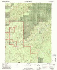
1995 Map of Onion Butte
USGS Topo · Published 1997About this map
Onion Butte and Onion Summit dominate the north-central topography of this mid-1990s Forest Service revision in Tehama County. The landscape is defined by the sharp descent of drainages like Mill Creek and Deer Creek, the latter featuring both Deer Creek Falls and the Lower Deer Creek Falls. This area is largely managed as the State Game Refuge within the Lassen National Forest, showing a network of resource-management infrastructure including a Cinder Pit, the Helispot LNF, and a Lookout atop Colby Mountain. The mapping reveals a complex hydrology of named forks and springs, such as Big Smoky Creek and Panther Creek, which carve through the high-elevation terrain near the Potato Patch. This document serves as a record of forest management and natural water resources in the Southern Cascades before late-century changes.
Find a feature on this map
35 named features on this map. Tap any name to fly to it.
Don’t see what you’re looking for? This feature index may not catch every label — zoom into the map to look around manually.
Map Details
Editions of this 1995 Onion Butte Map
2 editions found
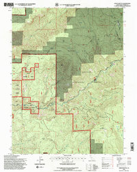
Other maps of this area

1886 · Lassen Peak
USGS Topo · 1:250,000

1892 · Lassen Peak
USGS Topo · 1:250,000

1894 · Lassen Peak
USGS Topo · 1:250,000

1935 · Paynes Creek
USGS Topo · 1:96,000

1941 · Mineral
USGS Topo · 1:125,000

1955 · Westwood
USGS Topo · 1:250,000

1956 · Lassen Peak
USGS Topo · 1:62,500

1956 · Mt. Harkness
USGS Topo · 1:62,500

1958 · Westwood
USGS Topo · 1:250,000

1958 · Jonesville
USGS Topo · 1:62,500