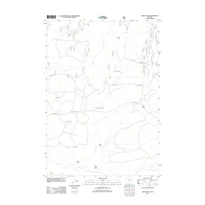
2012 Map of Onion Gulch
USGS Topo · Published 2012About this map
Moses Homestead and Tolman Homestead stand as markers of early 21st-century land use in this remote section of Washakie County. The map documents a landscape defined by seasonal ranching and rugged topography, where established outposts like Rice Cow Camp and Lyman Cow Camp support livestock operations across the High Plains. Drainage patterns are central to the area's geography, notably the Canyon Creek Sinks where surface water disappears into the subsurface, and numerous named springs such as Healy Springs and Beaird Spring provide essential water sources in an otherwise arid environment.
Find a feature on this map
30 named features on this map. Tap any name to fly to it.
Don’t see what you’re looking for? This feature index may not catch every label — zoom into the map to look around manually.
Map Details
Editions of this 2012 Onion Gulch Map
This is the sole edition of this map. No revisions or reprints were ever made.
Other maps of this area

1899 · Cloud peak
USGS Topo · 1:125,000

1901 · Cloud Peak
USGS Topo · 1:125,000

1955 · Sheridan
USGS Topo · 1:250,000

1955 · Arminto
USGS Topo · 1:250,000

1958 · Sheridan
USGS Topo · 1:250,000

1958 · Arminto
USGS Topo · 1:250,000

1962 · Sheridan
USGS Topo · 1:250,000

1962 · Arminto
USGS Topo · 1:250,000

1966 · Monument Hill
USGS Topo · 1:24,000

1966 · Big Trails NE
USGS Topo · 1:24,000