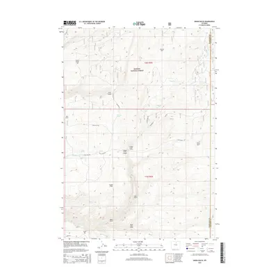
2015 Map of Onion Gulch
USGS Topo · Published 2015About this map
Bighorn National Forest defines the northern reaches of this Wyoming landscape, where the topography is carved by a complex network of seasonal drainages and permanent springs. The area is characterized by dramatic geological formations like the Canyon Creek Sinks and the steep walls of Canyon Creek Canyon. Hydrological features are central to the terrain, with Moses Spring, Tolman Spring, and Healy Springs providing critical water points in an otherwise arid environment.
Find a feature on this map
37 named features on this map. Tap any name to fly to it.
Don’t see what you’re looking for? This feature index may not catch every label — zoom into the map to look around manually.
Map Details
Editions of this 2015 Onion Gulch Map
This is the sole edition of this map. No revisions or reprints were ever made.
Other maps of this area
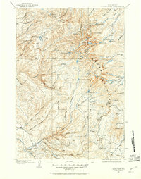
1899 · Cloud peak
USGS Topo · 1:125,000
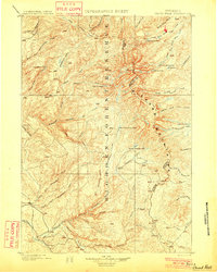
1901 · Cloud Peak
USGS Topo · 1:125,000

1955 · Sheridan
USGS Topo · 1:250,000

1955 · Arminto
USGS Topo · 1:250,000

1958 · Sheridan
USGS Topo · 1:250,000

1958 · Arminto
USGS Topo · 1:250,000

1962 · Sheridan
USGS Topo · 1:250,000
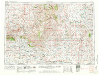
1962 · Arminto
USGS Topo · 1:250,000
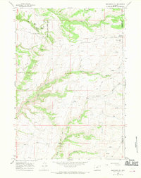
1966 · Monument Hill
USGS Topo · 1:24,000
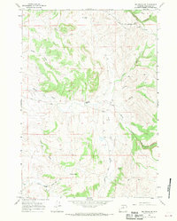
1966 · Big Trails NE
USGS Topo · 1:24,000