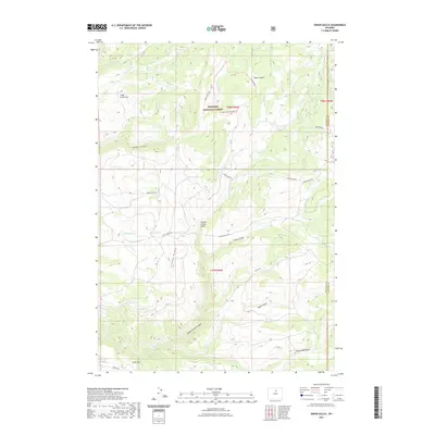
2021 Map of Onion Gulch
USGS Topo · Published 2021About this map
The Bighorn National Forest dominates this section of the Bighorn Mountains, where the landscape is defined by dramatic geological features and an intricate network of drainages. The Canyon Creek Sinks serve as a focal point for the local hydrology, where water disappears into the limestone subsurface. Throughout this area in Washakie County, numerous water sources such as Healy Springs, Gamino Spring, and Box Spring have historically sustained both wildlife and livestock. The terrain is marked by distinctive formations like the Leigh Creek Vee and Cooks Vee, while a series of trails including the Leigh Cabin Trl and Pasture Park Trl provide passage through the high-elevation backcountry. Settlement is sparse, represented primarily by named roads like Childs Creek Rd and Sand Draw Rd, which follow the natural contours of the gulches and ridges.
Find a feature on this map
36 named features on this map. Tap any name to fly to it.
Don’t see what you’re looking for? This feature index may not catch every label — zoom into the map to look around manually.
Map Details
Editions of this 2021 Onion Gulch Map
This is the sole edition of this map. No revisions or reprints were ever made.
Other maps of this area

1899 · Cloud peak
USGS Topo · 1:125,000

1901 · Cloud Peak
USGS Topo · 1:125,000

1955 · Sheridan
USGS Topo · 1:250,000

1955 · Arminto
USGS Topo · 1:250,000

1958 · Sheridan
USGS Topo · 1:250,000

1958 · Arminto
USGS Topo · 1:250,000

1962 · Sheridan
USGS Topo · 1:250,000

1962 · Arminto
USGS Topo · 1:250,000

1966 · Monument Hill
USGS Topo · 1:24,000

1966 · Big Trails NE
USGS Topo · 1:24,000