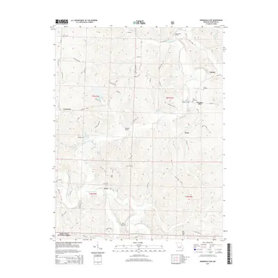
2015 Map of Onondaga Cave
USGS Topo · Published 2015About this map
Onondaga Cave and its namesake Onondaga Spring anchor this landscape where the Meramec River meets its major tributaries. The confluence of Huzzah Creek and Courtois Creek defines the southern portion of the map, carving through the terrain near the Mark Twain National Forest. Small settlements and family-named landmarks are scattered throughout, including Scotia, Vilander, and Harrison Mills.
Find a feature on this map
118 named features on this map. Tap any name to fly to it.
Don’t see what you’re looking for? This feature index may not catch every label — zoom into the map to look around manually.
Map Details
Editions of this 2015 Onondaga Cave Map
This is the sole edition of this map. No revisions or reprints were ever made.
Other maps of this area

1903 · Sullivan
USGS Topo · 1:125,000

1932 · Steelville
USGS Topo · 1:48,000

1933 · Steelville
USGS Topo · 1:62,500

1934 · Meramec State Park
USGS Topo · 1:24,000

1937 · Steelville
USGS Topo · 1:62,500

1937 · Meramec State Park
USGS Topo · 1:24,000

1943 · Berryman
USGS Topo · 1:62,500

1945 · Berryman
USGS Topo · 1:62,500

1947 · Sullivan
USGS Topo · 1:62,500

1948 · Leasburg
USGS Topo · 1:24,000