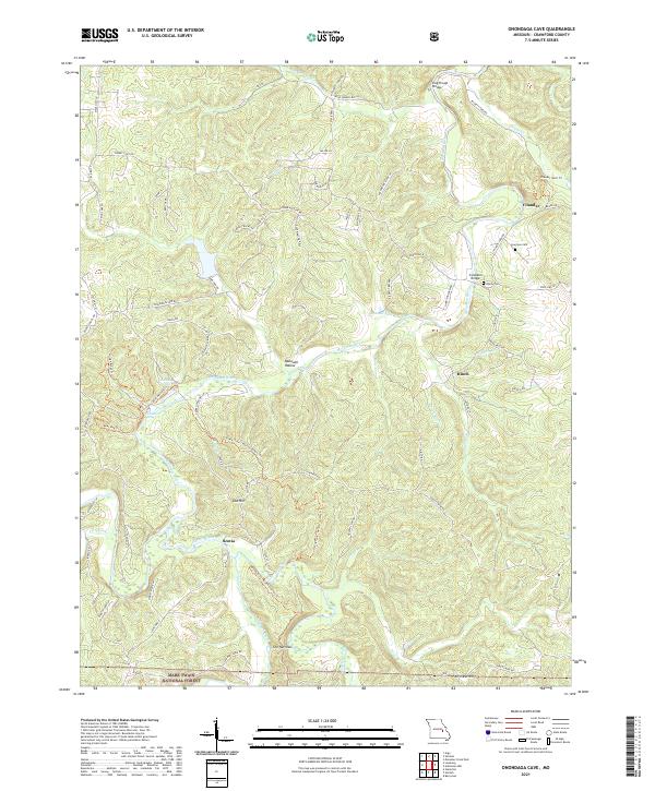
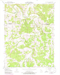
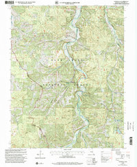
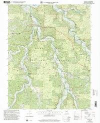
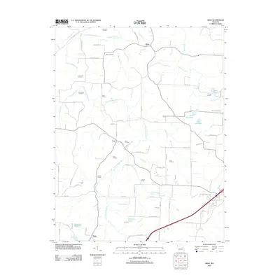
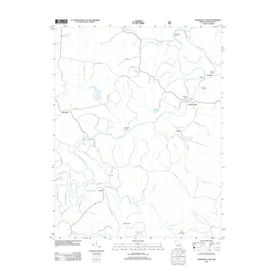
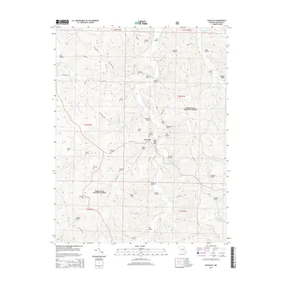
2021 Map of Onondaga Cave
USGS Topo · Published 2021About this map
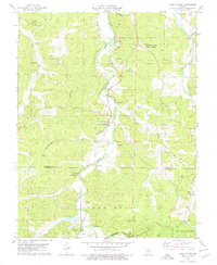
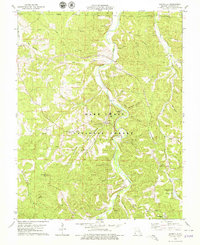
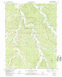
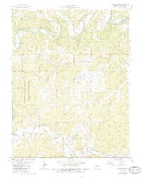
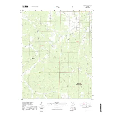
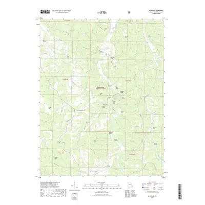
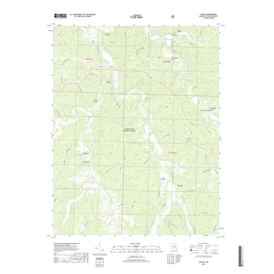
Huzzah Creek and the Meramec River converge in this corner of Crawford County, a landscape defined by significant spring systems and river bluffs. The presence of Onondaga Spring and Cathedral Spring near the riverbanks highlights the subterranean hydrologic importance of this region. Small river-valley settlements such as Scotia and Vilander anchor the local geography, while the upland areas are crisscrossed by the Ozark Trail - North Courtois Trl and various forest roads leading into the Mark Twain National Forest. The map documents a blend of rural residency and natural preservation, with features like Vilander Bluff and The Narrows marking the steep relief above the river basins. For genealogists, the locations of the Harrison Cem and Hardy Cem provide specific points of reference for local family histories near the Hinch area.
Find a feature on this map
116 named features on this map. Tap any name to fly to it.
Don’t see what you’re looking for? This feature index may not catch every label — zoom into the map to look around manually.
Map Details
Editions of this 2021 Onondaga Cave Map
This is the sole edition of this map. No revisions or reprints were ever made.
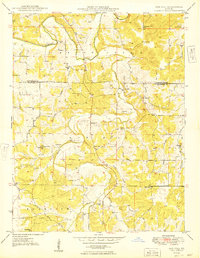
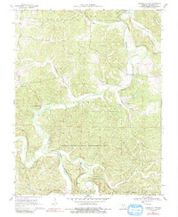
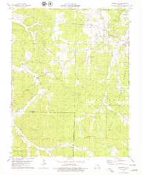
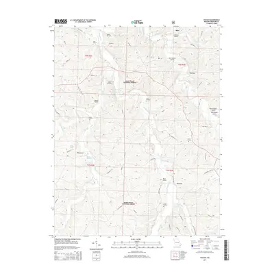
Historical Maps of Scotia Through Time
45 maps found
1943 Berryman
Crawford County, MO
1945 Berryman
Crawford County, MO
1948 Argo
Crawford County, MO
1948 Oak Hill
Crawford County, MO
1949 Oak Hill
Crawford County, MO
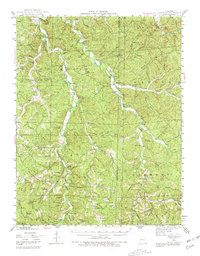
1969 Onondaga Cave
Crawford County, MO
1978 Cherryville
Crawford County, MO
1978 Cook Station
Crawford County, MO
1978 Davisville
Crawford County, MO
1978 Huzzah
Crawford County, MO
1978 Indian Springs
Crawford County, MO
1999 Davisville
Crawford County, MO
1999 Huzzah
Crawford County, MO
2011 Davisville
Crawford County, MO
2011 Huzzah
Crawford County, MO

2011 Indian Springs
Crawford County, MO
2012 Argo
Crawford County, MO
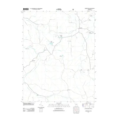
2012 Cherryville
Crawford County, MO
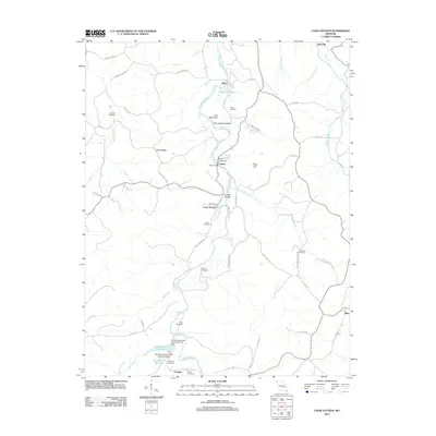
2012 Cook Station
Crawford County, MO
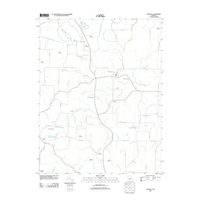
2012 Oak Hill
Crawford County, MO
2012 Onondaga Cave
Crawford County, MO
2015 Argo
Crawford County, MO
2015 Cherryville
Crawford County, MO
2015 Cook Station
Crawford County, MO
2015 Davisville
Crawford County, MO
2015 Huzzah
Crawford County, MO

2015 Indian Springs
Crawford County, MO
2015 Oak Hill
Crawford County, MO
2015 Onondaga Cave
Crawford County, MO
2017 Argo
Crawford County, MO
2017 Cherryville
Crawford County, MO
2017 Cook Station
Crawford County, MO
2017 Davisville
Crawford County, MO
2017 Huzzah
Crawford County, MO
2017 Indian Springs
Crawford County, MO
2017 Oak Hill
Crawford County, MO
2017 Onondaga Cave
Crawford County, MO
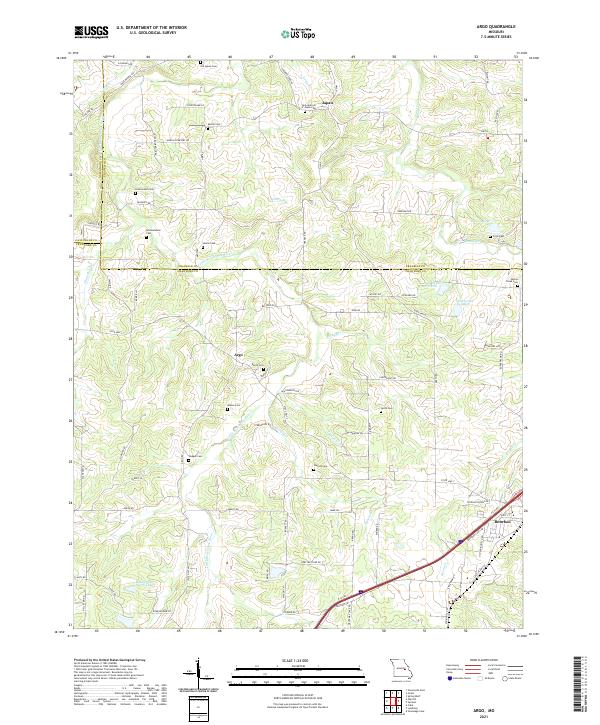
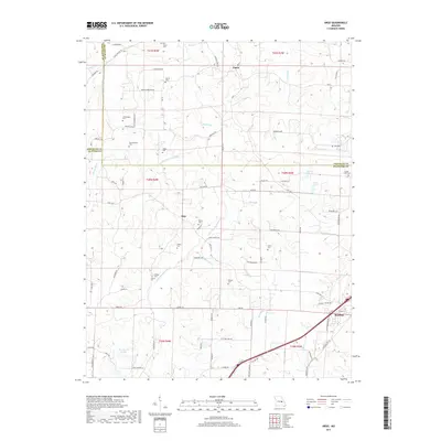
2021 Argo
Crawford County, MO
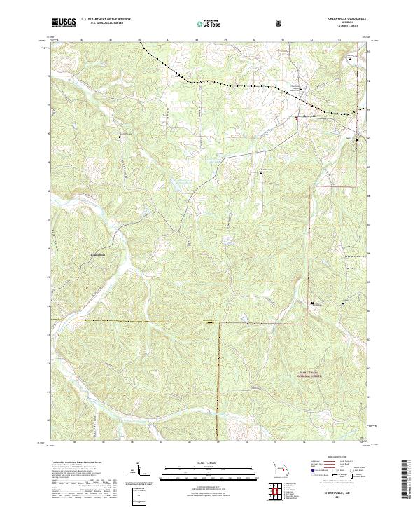
2021 Cherryville
Crawford County, MO
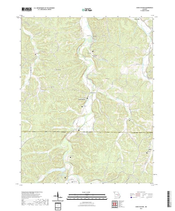
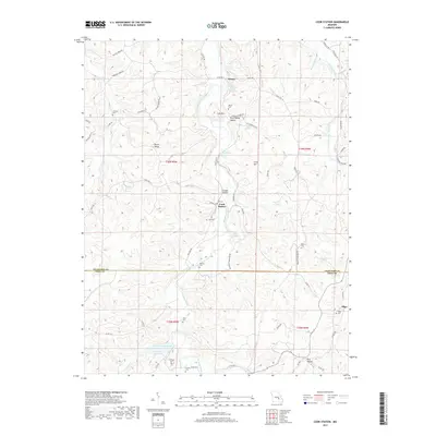
2021 Cook Station
Crawford County, MO
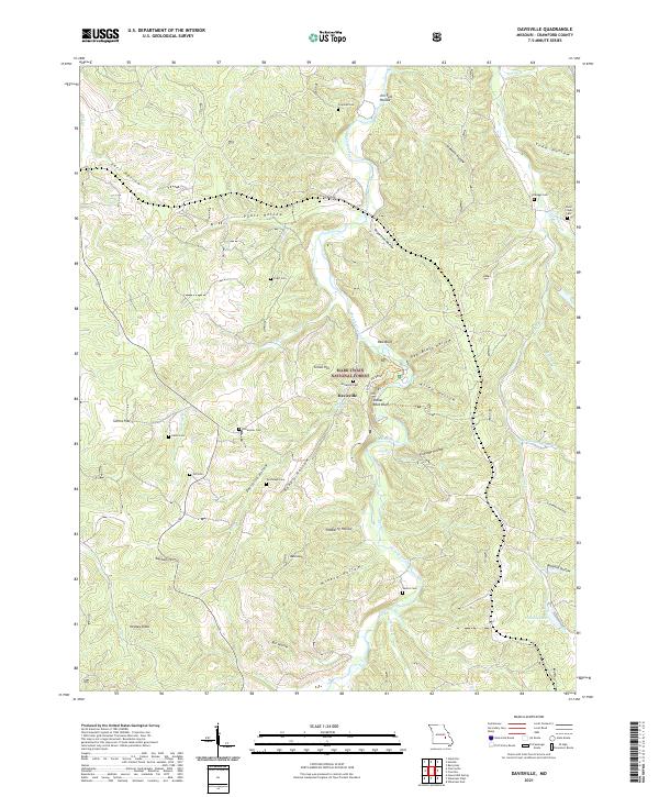
2021 Davisville
Crawford County, MO
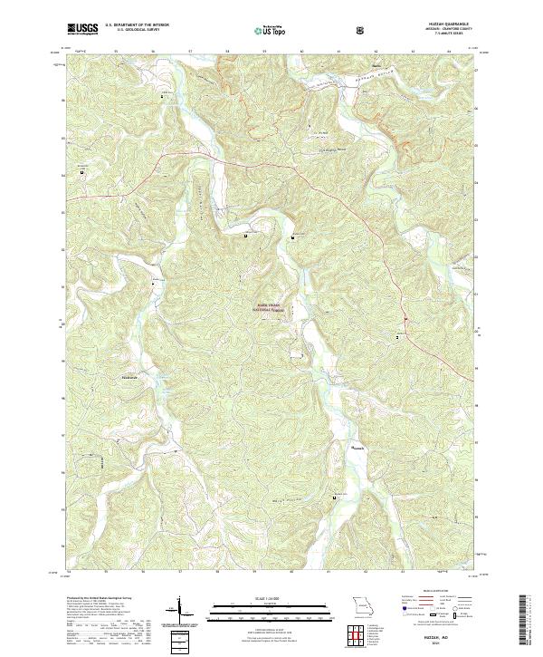
2021 Huzzah
Crawford County, MO
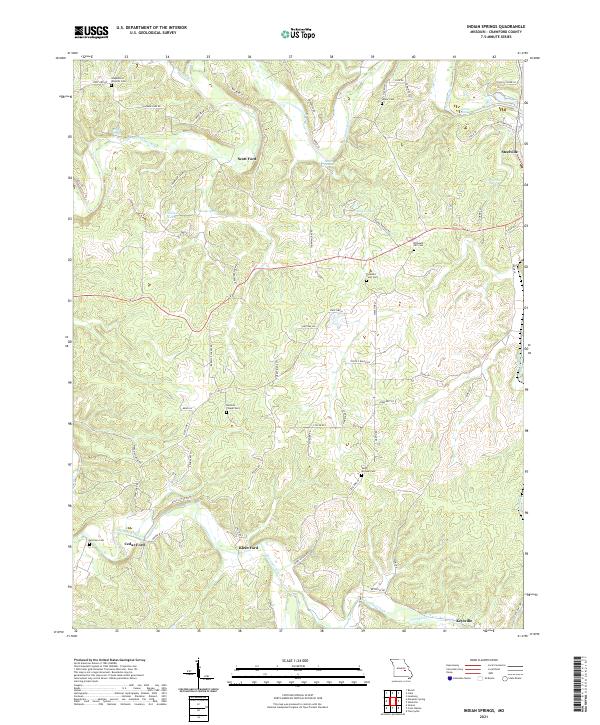
2021 Indian Springs
Crawford County, MO
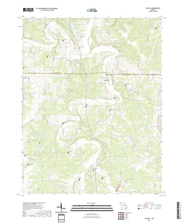
2021 Oak Hill
Crawford County, MO
2021 Onondaga Cave
Crawford County, MO